UN/LOCODE hub · France
FRMRS
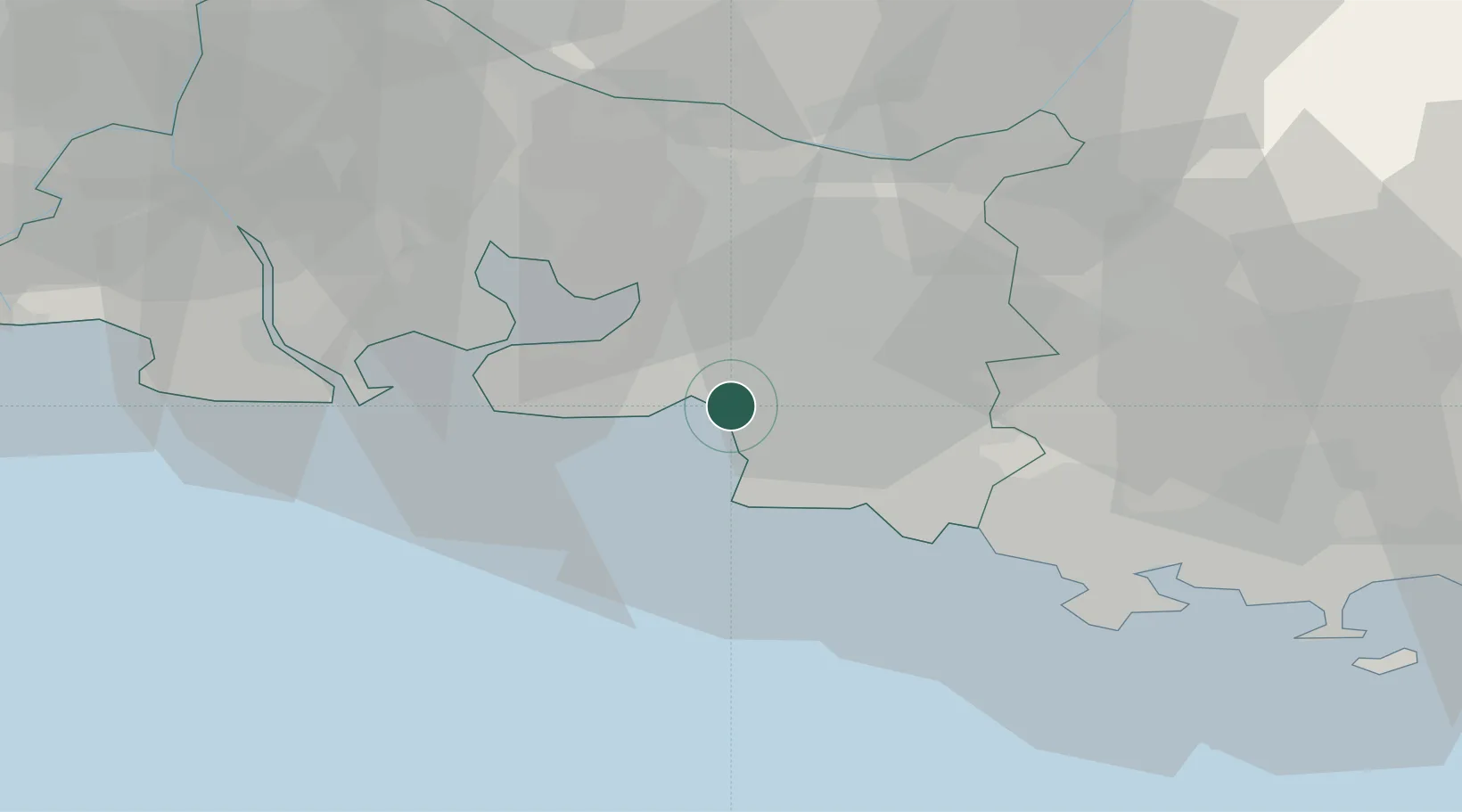
Marseille
43.3413°, 5.3465°
877,215
Population
4
Transport functions
3
Container terminals
Transport Functions
Port
Rail
Airport
Postal
Hub Profile
Place type
Regional capital
Region
Provence-Alpes-Côte d'Azur
Population
877,215
Time zone
Europe/Paris
Elevation
28 m
Logistics facilities
26
Container terminals
3
Location
Nearby Logistics Neighbours
Cities
- 1Le Rove11 km
- 2Simiane-Collongue11 km
- 3Gignac-la-Nerthe11 km
- 4Mimet15 km
- 5Luynes17 km
Ports
- 1Port-de-Bouc30 km
- 2Fos38 km
- 3Port Saint Louis Du Rhone43 km
- 4Toulon53 km
- 5Saint-Tropez105 km
Airports
Trade Zones
- 1ZFU Marseille 15e et 16e2 km
- 2ZFU Saint-Barthélémy, Le Canet, Delorme-Paternelle11 km
- 3ZFU La Seyne-sur-Mer49 km
- 4ZFU Toulon54 km
- 5ZFU Avignon81 km
DatabookThe Record of Consolidated Knowledge
France beyond logistics?