Transport Functions
Port
Rail
Road
Hub Profile
Place type
Provincial seat
Region
Capital Region
Population
16,850
Time zone
Europe/Copenhagen
Elevation
17 m
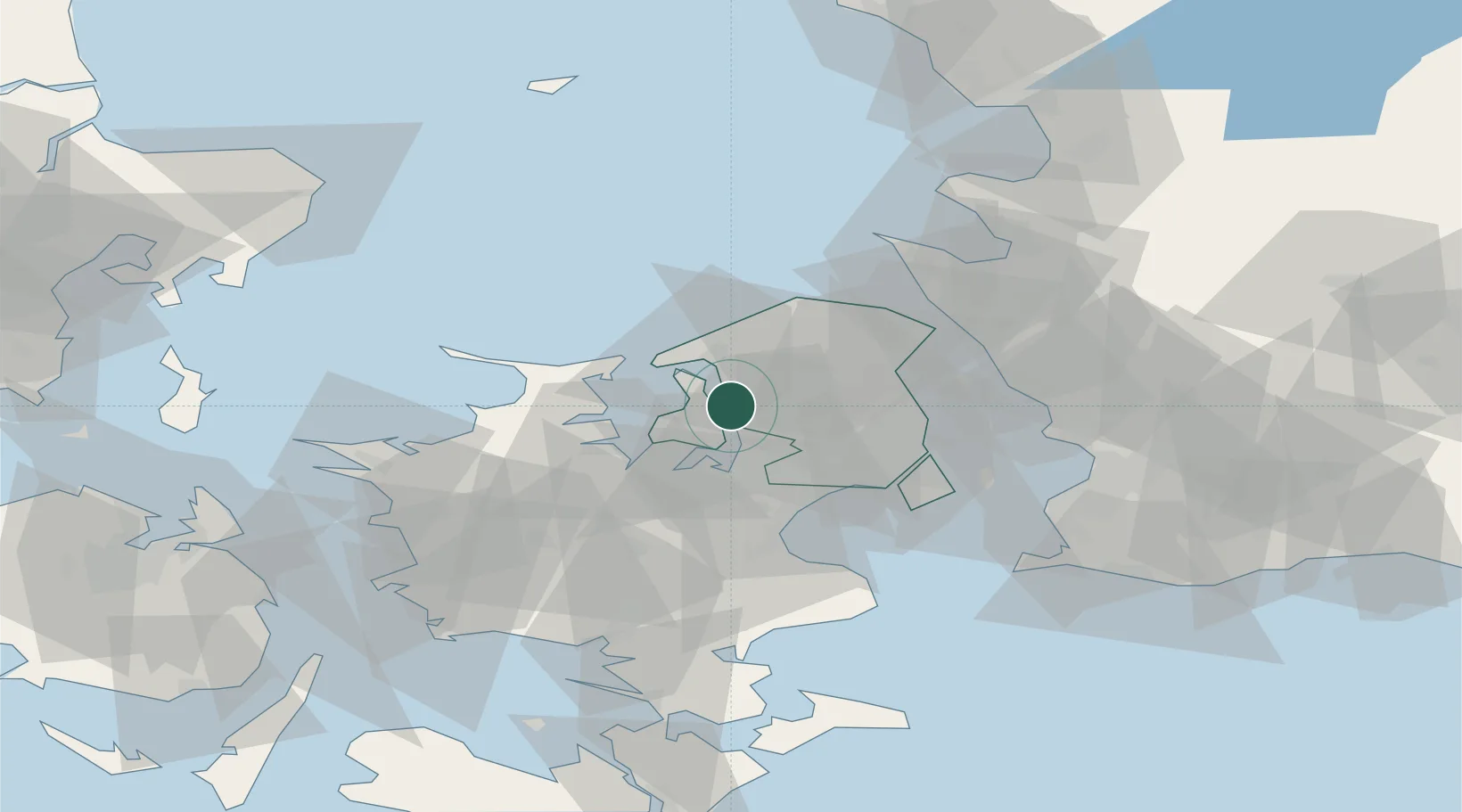
Location
Nearby Logistics Neighbours
Cities
- 1Ølstykke7 km
- 2Veksø15 km
- 3Kirke Hyllinge18 km
- 4Målov19 km
- 5Tisvildeleje24 km
Ports
- 1Kyndbyvaerkets12 km
- 2Frederiksvaerk15 km
- 3Hundested Havn20 km
- 4Holbaek25 km
- 5Tuborg35 km
Airports
Trade Zones
DatabookThe Record of Consolidated Knowledge
Denmark beyond logistics?