Transport Functions
Port
Road
Hub Profile
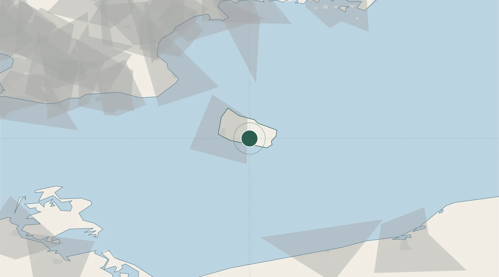
Place type
Populated place
Region
Capital Region
Population
2,119
Time zone
Europe/Copenhagen
Elevation
88 m
Location
Nearby Logistics Neighbours
Cities
- 1Svaneke16 km
- 2Gudhjem17 km
- 3Allinge24 km
- 4Sandvig26 km
- 5Hammerhavn27 km
Ports
- 1Nekso13 km
- 2Ronne15 km
- 3Hasle20 km
- 4Christianso Harbor32 km
- 5Simrishamn66 km
Airports
- 1Bornholm Airport11 km
- 2Kristianstad Airport109 km
- 3Malmö Sturup Airport112 km
- 4Ronneby Airport135 km
- 5Heringsdorf Airport141 km
Trade Zones
- 1MTS Malmö Transport and Spedition131 km
- 2Swinoujscie Duty Free Zone137 km
- 3Słupsk SEZ (Słupska SSE)150 km
- 4Freeport of Copenhagen- Nordhavn164 km
- 5Szczecin Duty Free Zone185 km
DatabookThe Record of Consolidated Knowledge
Denmark beyond logistics?