UN/LOCODE hub · Denmark
DKVAN

Vanløse

55.6833°, 12.4833°
3
Transport functions

Transport Functions

Rail
Road
Multimodal
UN/LOCODE

Hub Profile

Region
85
GeoNames

Location

Location of DKVAN
Natural Earth 10m (public domain) · 85 · DKVAN · 55.68, 12.48GoogleOSMYandex

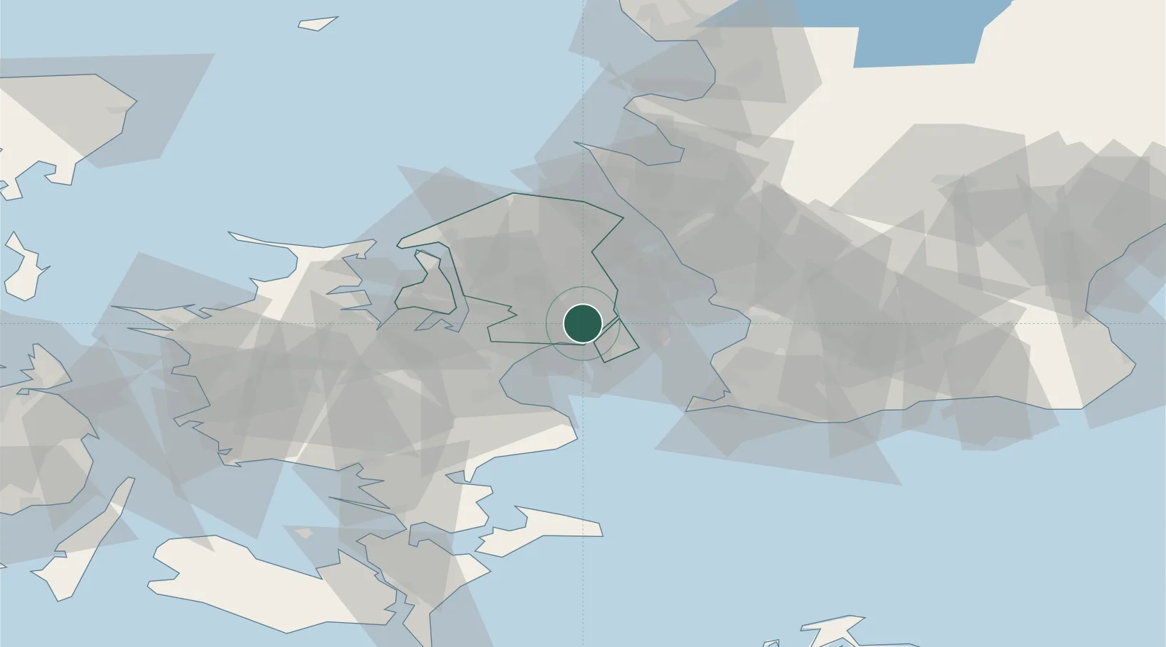
Nearby Logistics Neighbours

Cities
  1. 1Rødovre0 km
  2. 2København3 km
  3. 3Dyssegard6 km
  4. 4Skovlunde6 km
  5. 5Nordhavn8 km
Nearest neighbours — logibook spatial index (haversine) over the source coordinates
Ports
  1. 1Tuborg7 km
  2. 2Kobenhavn9 km
  3. 3Landskrona29 km
  4. 4Limhamn29 km
  5. 5Koge32 km
Nearest neighbours — logibook spatial index (haversine) over the source coordinates
Airports
  1. 1København Vandflyveplads7 km
  2. 2Copenhagen Kastrup Airport13 km
  3. 3Copenhagen Roskilde Airport25 km
  4. 4Ringsted Airfield51 km
  5. 5Malmö Sturup Airport58 km
Nearest neighbours — logibook spatial index (haversine) over the source coordinates
Trade Zones
  1. 1Freeport of Copenhagen- Nordhavn8 km
  2. 2MTS Malmö Transport and Spedition39 km
  3. 3Freeport of Kiel210 km
  4. 4Gothenburg Boundless Customs Warehouse229 km
  5. 5Swinoujscie Duty Free Zone229 km
Nearest neighbours — logibook spatial index (haversine) over the source coordinates
DatabookThe Record of Consolidated Knowledge
Denmark beyond logistics?
Browse databook

All Sources

LocationsUN/LOCODE
UN/LOCODE — free
Portsthe NGA World Port Index
Public domain (US gov)
AirportsOurAirports
Public domain
Trade Zonesthe World Bank SEZ database
CC BY 4.0
Trade ZonesOpen Zone Map
CC BY
← Denmark locations