Transport Functions
Port
Hub Profile
Place type
Populated place
Region
Capital Region
Time zone
Europe/Copenhagen
Elevation
7 m
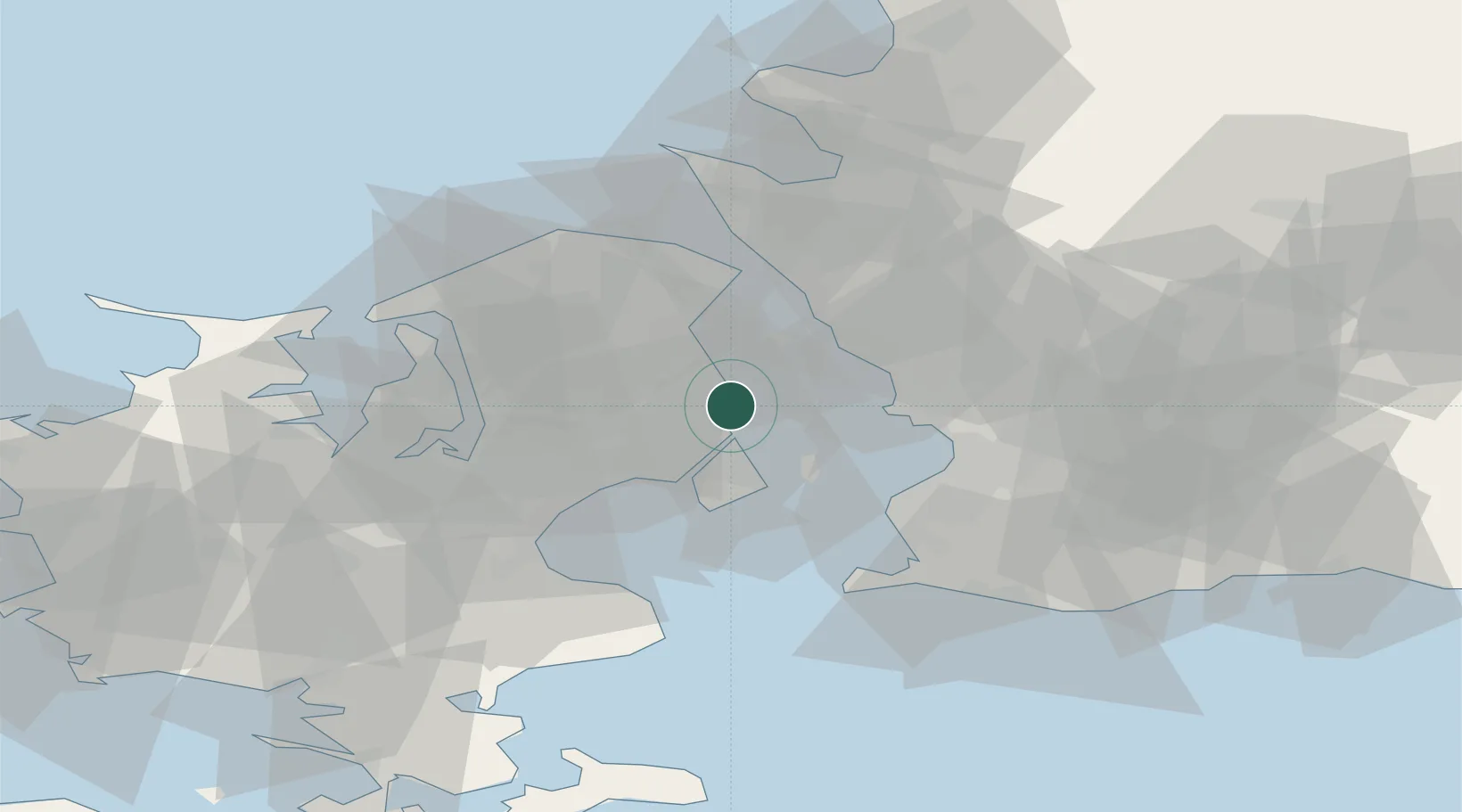
Location
Nearby Logistics Neighbours
Ports
- 1Tuborg6 km
- 2Kobenhavn8 km
- 3Landskrona18 km
- 4Limhamn28 km
- 5Malmo29 km
Airports
- 1København Vandflyveplads8 km
- 2Copenhagen Kastrup Airport17 km
- 3Copenhagen Roskilde Airport36 km
- 4Ljungbyhed Airfield52 km
- 5Malmö Sturup Airport55 km
Trade Zones
DatabookThe Record of Consolidated Knowledge
Denmark beyond logistics?