Transport Functions
Port
Hub Profile
Place type
Urban district
Region
Capital Region
Time zone
Europe/Copenhagen
Elevation
2 m
Logistics facilities
1
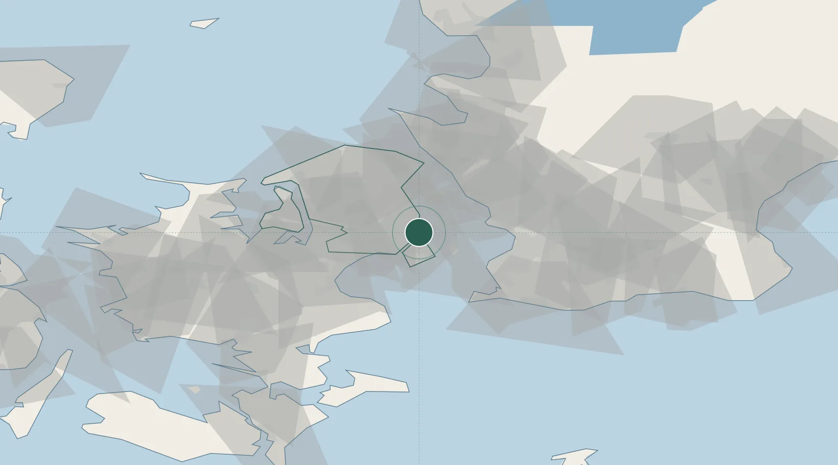
Location
Nearby Logistics Neighbours
Cities
- 1Dyssegard5 km
- 2Skovshoved6 km
- 3Rødovre8 km
- 4Vanløse8 km
- 5København11 km
Ports
- 1Tuborg1 km
- 2Kobenhavn2 km
- 3Landskrona22 km
- 4Limhamn24 km
- 5Malmo26 km
Airports
- 1København Vandflyveplads3 km
- 2Copenhagen Kastrup Airport11 km
- 3Copenhagen Roskilde Airport33 km
- 4Malmö Sturup Airport53 km
- 5Ljungbyhed Airfield56 km
Trade Zones
DatabookThe Record of Consolidated Knowledge
Denmark beyond logistics?