Transport Functions
Port
Multimodal
Hub Profile
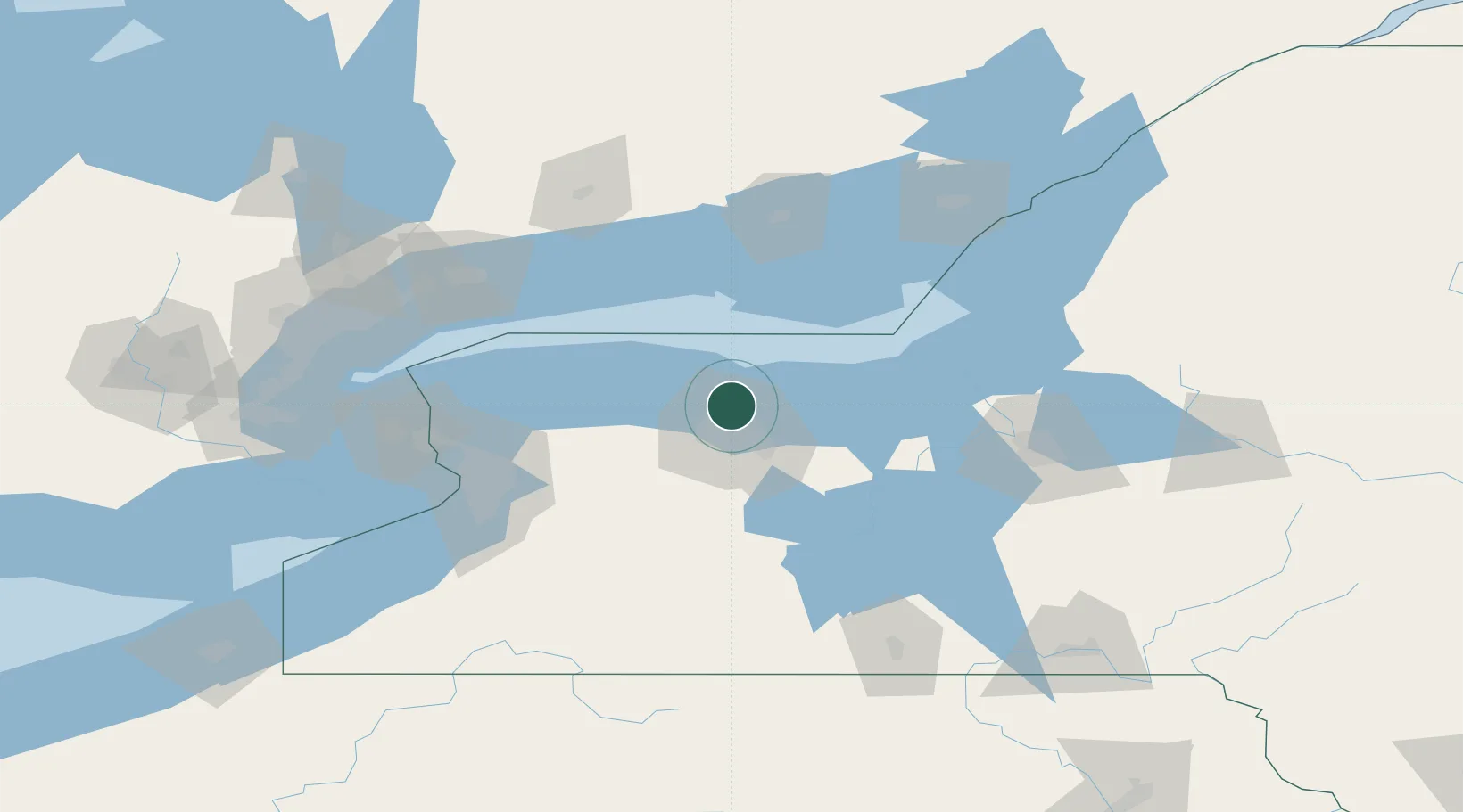
Place type
Populated place
Region
New York
Population
5,921
Time zone
America/New_York
Elevation
85 m
Location
Nearby Logistics Neighbours
Cities
- 1Charlotte4 km
- 2Greece11 km
- 3Rochester16 km
- 4Spencerport19 km
- 5Penfield20 km
Airports
Trade Zones
- 1FTZ No. 141 Monroe County28 km
- 2FTZ No. 289 Ontario County53 km
- 3FTZ No. 090 Onondaga88 km
- 4FTZ No. 023 Buffalo112 km
- 5Niagara Foreign Trade Zone118 km
DatabookThe Record of Consolidated Knowledge
United States beyond logistics?