UN/LOCODE hub · United States
USEGB
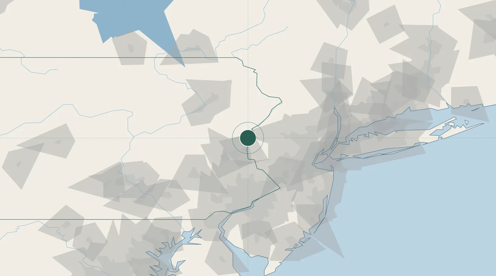
East Bangor
40.8667°, -75.1833°
1,566
Population
2
Transport functions
Transport Functions
Rail
Road
Hub Profile
Place type
Populated place
Region
Pennsylvania
Population
1,566
Time zone
America/New_York
Elevation
213 m
Location
Nearby Logistics Neighbours
Cities
- 1Bangor3 km
- 2Pen Argyl6 km
- 3Mount Bethel8 km
- 4Portland10 km
- 5Columbia10 km
Ports
- 1Sayreville82 km
- 2Trenton82 km
- 3Sewaren86 km
- 4Port Reading87 km
- 5Bayway87 km
Airports
Trade Zones
DatabookThe Record of Consolidated Knowledge
United States beyond logistics?