Transport Functions
Port
Rail
Road
Multimodal
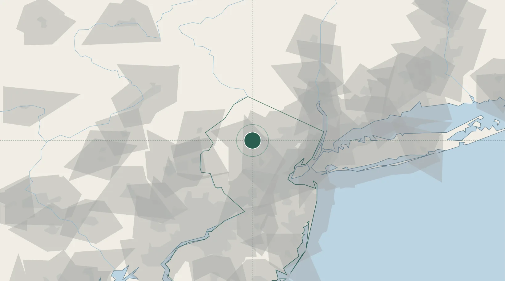
Hub Profile
Place type
Populated place
Region
New Jersey
Population
6,436
Time zone
America/New_York
Elevation
281 m
Location
Nearby Logistics Neighbours
Cities
- 1Point Pleasant2 km
- 2Kenvil2 km
- 3Picatinny Arsenal11 km
- 4Mendham15 km
- 5Monroe17 km
Ports
- 1Newark48 km
- 2Bayway48 km
- 3Elizabethport48 km
- 4Carteret51 km
- 5Port Reading51 km
Airports
Trade Zones
DatabookThe Record of Consolidated Knowledge
United States beyond logistics?