UN/LOCODE hub · United States
USPM3
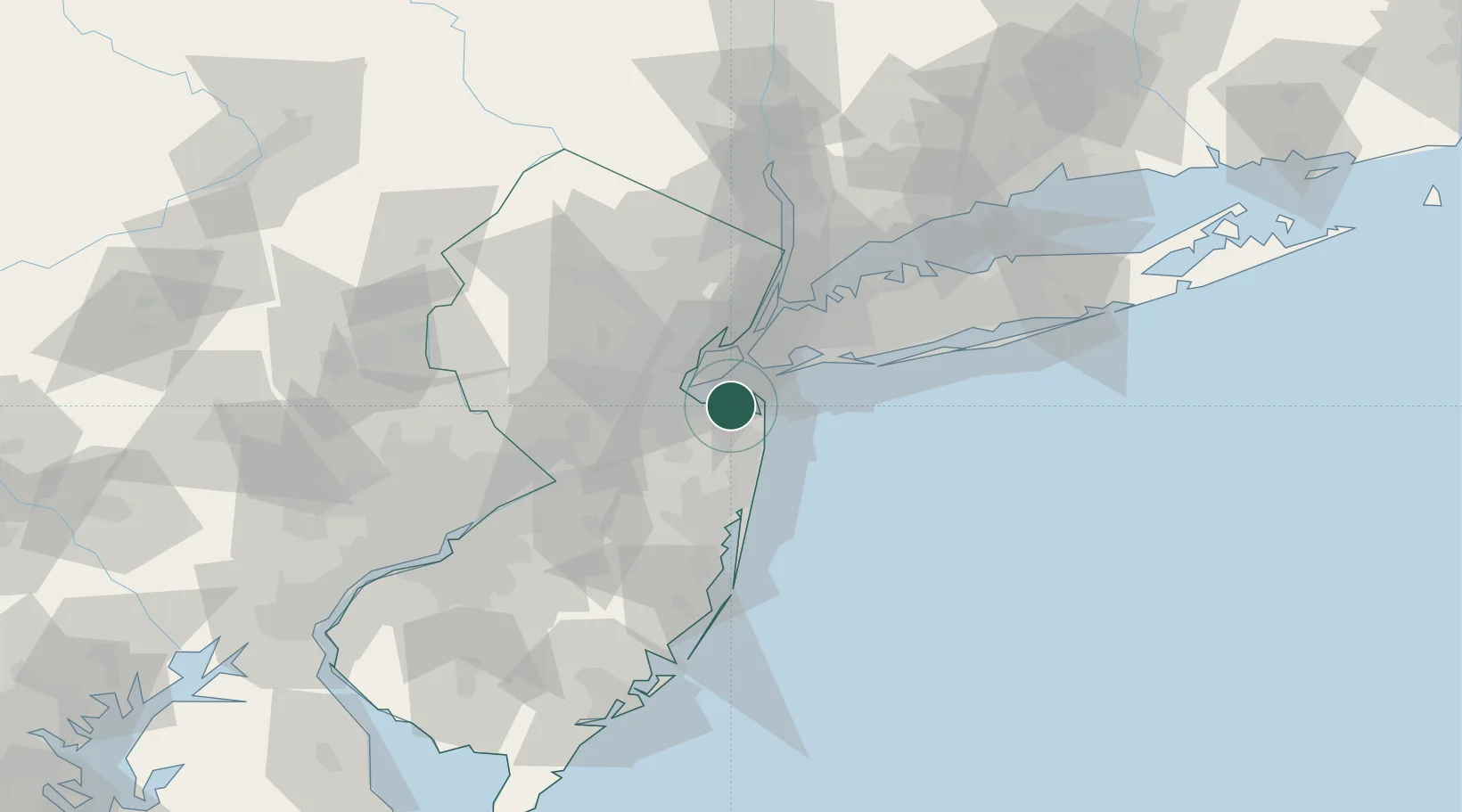
Port Monmouth
40.4333°, -74.1000°
3,818
Population
3
Transport functions
Transport Functions
Port
Road
Multimodal
Hub Profile
Place type
Populated place
Region
New Jersey
Population
3,818
Time zone
America/New_York
Elevation
3 m
Location
Nearby Logistics Neighbours
Cities
- 1East Keansburg1 km
- 2Atlantic Highlands7 km
- 3Locust8 km
- 4Highlands9 km
- 5Fair Haven9 km
Ports
- 1Leonardo3 km
- 2South Amboy15 km
- 3Perth Amboy16 km
- 4Chrome18 km
- 5Sewaren18 km
Airports
Trade Zones
DatabookThe Record of Consolidated Knowledge
United States beyond logistics?