Transport Functions
Rail
Road
Multimodal
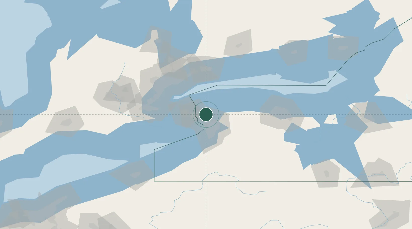
Hub Profile
Place type
Populated place
Region
New York
Population
1,645
Time zone
America/New_York
Elevation
193 m
Location
Nearby Logistics Neighbours
Cities
- 1Getzville16 km
- 2Youngstown18 km
- 3Niagara-on-the-Lake20 km
- 4Kenmore20 km
- 5Kenilworth21 km
Ports
- 1Tonawanda11 km
- 2Queenston15 km
- 3Youngstown19 km
- 4Niagara20 km
- 5Buffalo28 km
Airports
Trade Zones
- 1Niagara Foreign Trade Zone14 km
- 2FTZ No. 034 Niagara County28 km
- 3FTZ No. 023 Buffalo29 km
- 4FTZ No. 141 Monroe County76 km
- 5FTZ No. 289 Ontario County113 km
DatabookThe Record of Consolidated Knowledge
United States beyond logistics?