Transport Functions
Rail
Road
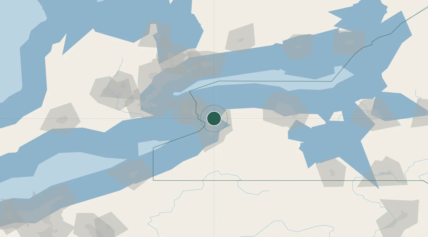
Hub Profile
Place type
Populated place
Region
New York
Time zone
America/New_York
Elevation
178 m
Location
Nearby Logistics Neighbours
Cities
- 1Kenilworth9 km
- 2Kenmore11 km
- 3Sanborn16 km
- 4Buffalo17 km
- 5Elma, Erie23 km
Ports
- 1Tonawanda10 km
- 2Buffalo18 km
- 3Queenston30 km
- 4Youngstown35 km
- 5Niagara36 km
Airports
Trade Zones
- 1FTZ No. 023 Buffalo18 km
- 2Niagara Foreign Trade Zone24 km
- 3FTZ No. 034 Niagara County44 km
- 4FTZ No. 141 Monroe County72 km
- 5FTZ No. 289 Ontario County100 km
DatabookThe Record of Consolidated Knowledge
United States beyond logistics?