UN/LOCODE hub · United States
USYTW
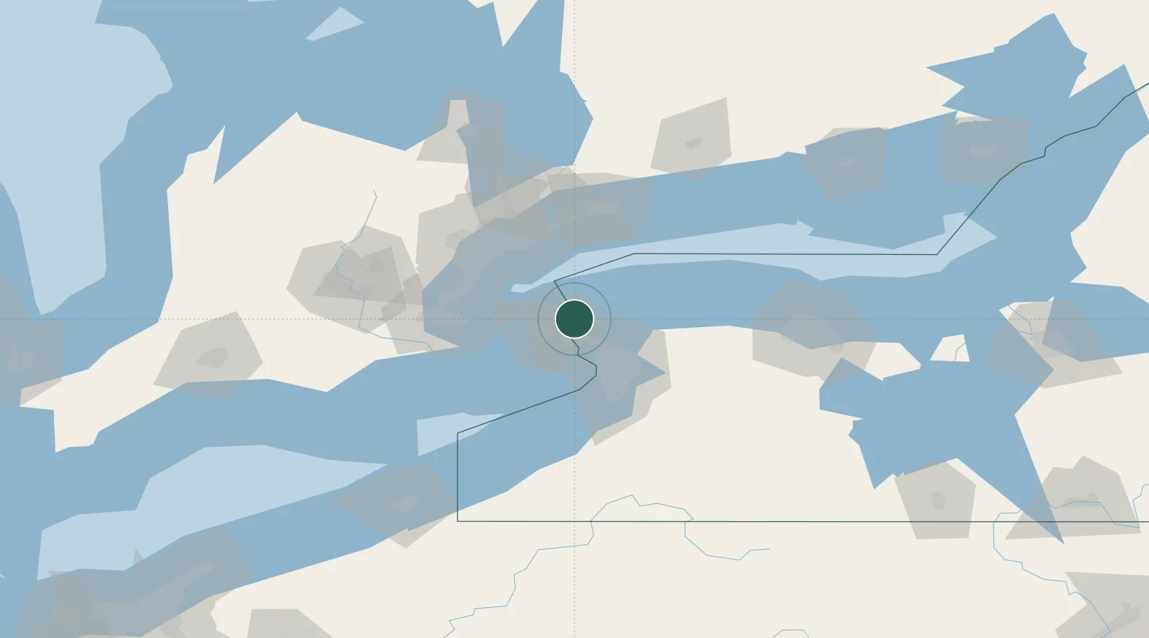
Youngstown
43.2333°, -79.0500°
1,921
Population
2
Transport functions
Transport Functions
Port
Road
Hub Profile
Place type
Populated place
Region
New York
Population
1,921
Time zone
America/New_York
Elevation
90 m
Location
Nearby Logistics Neighbours
Cities
- 1Niagara-on-the-Lake2 km
- 2Port Weller14 km
- 3Saint-Catharines17 km
- 4Sanborn18 km
- 5Newfane28 km
Ports
- 1Niagara2 km
- 2Queenston8 km
- 3Port Weller14 km
- 4St Catherine20 km
- 5Tonawanda26 km
Airports
Trade Zones
- 1FTZ No. 034 Niagara County12 km
- 2Niagara Foreign Trade Zone16 km
- 3FTZ No. 023 Buffalo42 km
- 4FTZ No. 141 Monroe County88 km
- 5FTZ No. 289 Ontario County130 km
DatabookThe Record of Consolidated Knowledge
United States beyond logistics?