UN/LOCODE hub · United States
USKMR
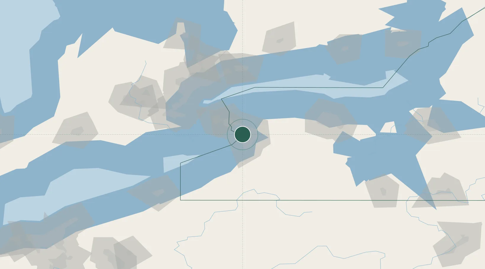
Kenmore
42.9500°, -78.8667°
15,160
Population
4
Transport functions
Transport Functions
Port
Rail
Road
Multimodal
Hub Profile
Place type
Populated place
Region
New York
Population
15,160
Time zone
America/New_York
Elevation
187 m
Location
Nearby Logistics Neighbours
Cities
- 1Kenilworth3 km
- 2Buffalo10 km
- 3Getzville11 km
- 4Stevensville16 km
- 5Blasdell18 km
Ports
- 1Buffalo8 km
- 2Tonawanda9 km
- 3Queenston29 km
- 4Welland32 km
- 5Port Colborne32 km
Airports
Trade Zones
DatabookThe Record of Consolidated Knowledge
United States beyond logistics?