Seaport · United States

YoungstownUSYTW

43.2500°, -79.0500°
3.4 m
Channel depth
Youngstown is also a UN/LOCODE logistics hub →

Channel & Berth Profile

SEA LEVEL (CD)CHANNEL BEDChannel · 3.4 mAnchorage · 3.4 mCargo pier · 3.4 m
NGA World Port Index

Pilotage, Tugs & Services

Pilotage compulsoryYES
Tug assistanceNO
Salvage tugsNO
Potable waterYES
Diesel bunkersYES
NGA World Port Index

Facilities & Capabilities

Container
Ro-Ro
Liquid bulk
Dry bulk
Oil terminal
Break bulk
Dry dock
RepairsNO
BunkeringYES
Rail link
Dangerous cargo
ISPS security
NGA World Port Index

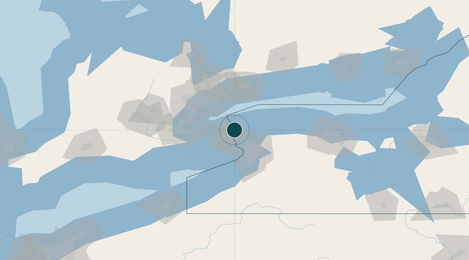
Harbour Specifications

Harbour size
Very Small
NGA World Port Index
Harbour type
River (Natural)
NGA World Port Index
Shelter
Excellent
NGA World Port Index
Water body
Lake Erie; Great Lakes
NGA World Port Index
Pilotage
Yes
NGA World Port Index

Location

Location of USYTW
Natural Earth 10m (public domain) · New York · USYTW · 43.25, -79.05GoogleOSMYandex

Nearby Logistics Neighbours

Ports
  1. 1Niagara1 km
  2. 2Queenston9 km
  3. 3Port Weller14 km
  4. 4St Catherine20 km
  5. 5Tonawanda28 km
Nearest neighbours — logibook spatial index (haversine) over the source coordinates
Cities
  1. 1Niagara-on-the-Lake1 km
  2. 2Port Weller14 km
  3. 3Saint-Catharines18 km
  4. 4Sanborn19 km
  5. 5Newfane27 km
Nearest neighbours — logibook spatial index (haversine) over the source coordinates
Airports
  1. 1Niagara District Airport12 km
  2. 2Niagara Falls International Airport18 km
  3. 3Buffalo Niagara International Airport43 km
  4. 4Billy Bishop Toronto City Airport50 km
  5. 5Toronto Pearson International Airport67 km
Nearest neighbours — logibook spatial index (haversine) over the source coordinates
Trade Zones
  1. 1FTZ No. 034 Niagara County10 km
  2. 2Niagara Foreign Trade Zone18 km
  3. 3FTZ No. 023 Buffalo44 km
  4. 4FTZ No. 141 Monroe County88 km
  5. 5FTZ No. 289 Ontario County130 km
Nearest neighbours — logibook spatial index (haversine) over the source coordinates
DatabookThe Record of Consolidated Knowledge
United States beyond logistics?
Browse databook

All Sources

Portsthe NGA World Port Index
Public domain (US gov)
AirportsOurAirports
Public domain
LocationsUN/LOCODE
UN/LOCODE — free
Trade Zonesthe World Bank SEZ database
CC BY 4.0
Trade ZonesOpen Zone Map
CC BY
← United States ports