Transport Functions
Multimodal
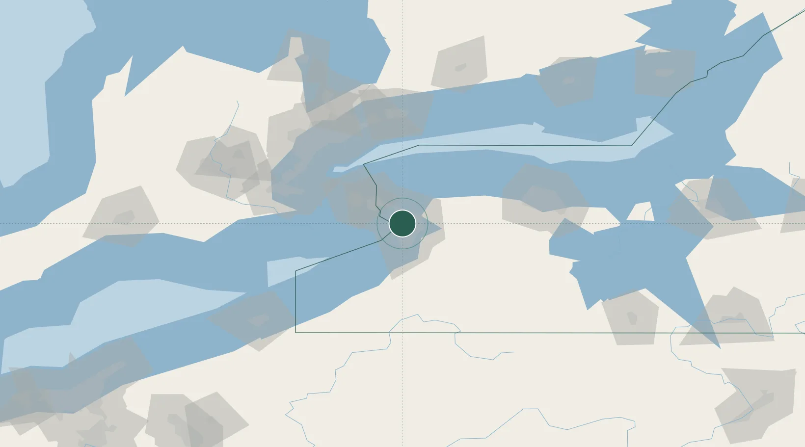
Hub Profile
Place type
Populated place
Region
New York
Time zone
America/New_York
Elevation
189 m
Location
Nearby Logistics Neighbours
Cities
- 1Kenmore3 km
- 2Getzville9 km
- 3Buffalo10 km
- 4Blasdell17 km
- 5Stevensville19 km
Ports
- 1Buffalo9 km
- 2Tonawanda10 km
- 3Queenston31 km
- 4Welland34 km
- 5Port Colborne35 km
Airports
Trade Zones
DatabookThe Record of Consolidated Knowledge
United States beyond logistics?