UN/LOCODE hub · Canada
CANOL
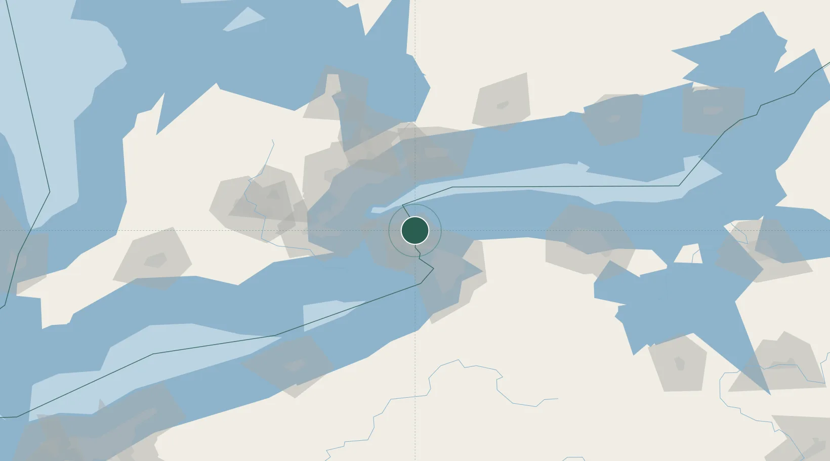
Niagara-on-the-Lake
43.2500°, -79.0667°
17,511
Population
2
Transport functions
Transport Functions
Port
Road
Hub Profile
Place type
Populated place
Region
Ontario
Population
17,511
Time zone
America/Toronto
Elevation
85 m
Location
Nearby Logistics Neighbours
Cities
- 1Youngstown2 km
- 2Port Weller13 km
- 3Saint-Catharines16 km
- 4Sanborn20 km
- 5Newfane29 km
Ports
- 1Youngstown1 km
- 2Queenston9 km
- 3Port Weller12 km
- 4St Catherine19 km
- 5Tonawanda28 km
Airports
Trade Zones
DatabookThe Record of Consolidated Knowledge
Canada beyond logistics?