Transport Functions
Rail
Road
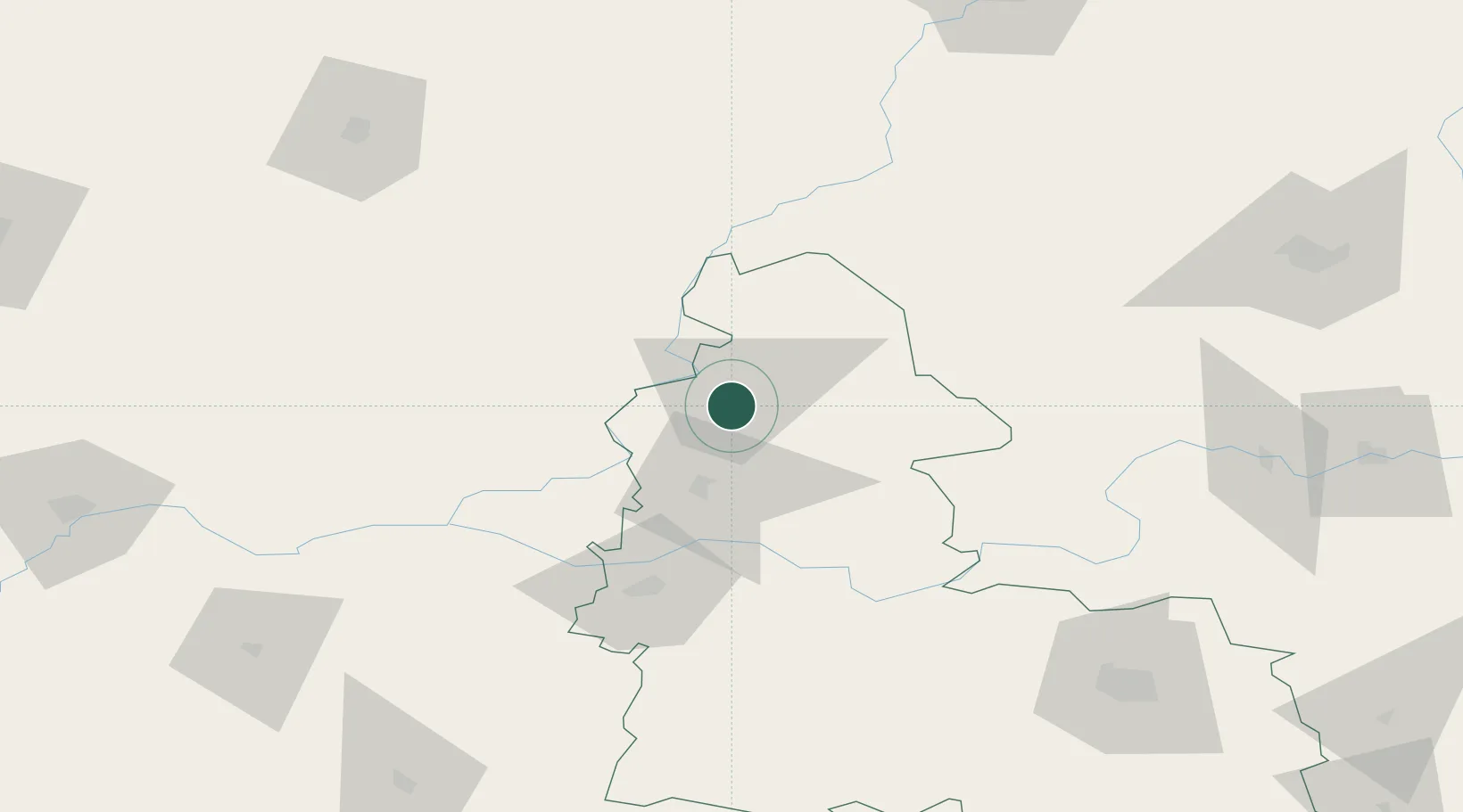
Hub Profile
Place type
Provincial seat
Region
Sumy
Population
73,197
Time zone
Europe/Kyiv
Elevation
154 m
Location
Nearby Logistics Neighbours
Cities
- 1Dubovyazivka47 km
- 2Konotop71 km
- 3Mena95 km
- 4Novozybkov130 km
- 5Ichnya133 km
Ports
- 1Mykolayiv556 km
- 2Port Oktyabrsk569 km
- 3Kherson585 km
- 4Mariupol606 km
- 5Yuzhnyy611 km
Airports
- 1Nizhyn Air Base140 km
- 2Bryansk International Airport159 km
- 3Gomel Airport184 km
- 4Kursk East Airport194 km
- 5Seshcha Air Base208 km
Trade Zones
DatabookThe Record of Consolidated Knowledge
Ukraine beyond logistics?