Transport Functions
Port
Multimodal
Hub Profile
Place type
Provincial seat
Region
Rostov
Population
47,521
Time zone
Europe/Moscow
Elevation
10 m
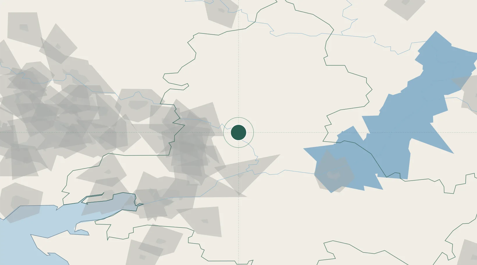
Location
Nearby Logistics Neighbours
Cities
- 1Krasnyy Sulin32 km
- 2Donetsk64 km
- 3Rossosh'68 km
- 4Novoshakhtinsk78 km
- 5Dovzhansk85 km
Ports
- 1Rostov-Na-Donu137 km
- 2Azov156 km
- 3Taganrog174 km
- 4Yeysk247 km
- 5Mariupol270 km
Airports
- 1Millerovo Air Base95 km
- 2Platov International Airport99 km
- 3Rostov-on-Don Central Air Base131 km
- 4Taganrog Tsentralny Air Base178 km
- 5Taganrog Yuzhny Airport180 km
DatabookThe Record of Consolidated Knowledge
Russia beyond logistics?