UN/LOCODE hub · Russia
RUROO

Krasnyy Sulin

47.8833°, 40.7167°
44,133
Population
1
Transport functions

Transport Functions

Multimodal
UN/LOCODE

Hub Profile

Place type
Provincial seat
GeoNames
Region
Rostov
GeoNames
Population
44,133
GeoNames
Time zone
Europe/Moscow
GeoNames
Elevation
175 m
GeoNames

Location

Location of RUROO
Natural Earth 10m (public domain) · Rostov · RUROO · 47.88, 40.72GoogleOSMYandex

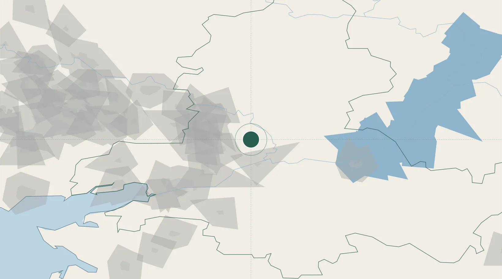
Nearby Logistics Neighbours

Cities
  1. 1Belaya Kalitva32 km
  2. 2Novoshakhtinsk60 km
  3. 3Bessergenevskaya62 km
  4. 4Bagaevskaya68 km
  5. 5Donetsk76 km
Nearest neighbours — logibook spatial index (haversine) over the source coordinates
Ports
  1. 1Rostov-Na-Donu110 km
  2. 2Azov130 km
  3. 3Taganrog153 km
  4. 4Yeysk225 km
  5. 5Mariupol253 km
Nearest neighbours — logibook spatial index (haversine) over the source coordinates
Airports
  1. 1Platov International Airport73 km
  2. 2Rostov-on-Don Central Air Base105 km
  3. 3Millerovo Air Base123 km
  4. 4Taganrog Tsentralny Air Base158 km
  5. 5Taganrog Yuzhny Airport160 km
Nearest neighbours — logibook spatial index (haversine) over the source coordinates
DatabookThe Record of Consolidated Knowledge
Russia beyond logistics?
Browse databook

All Sources

LocationsUN/LOCODE
UN/LOCODE — free
LocationsGeoNames
CC BY 4.0
Portsthe NGA World Port Index
Public domain (US gov)
AirportsOurAirports
Public domain
Trade Zonesthe World Bank SEZ database
CC BY 4.0
Trade ZonesOpen Zone Map
CC BY
← Russia locations