Transport Functions
Rail
Road
Hub Profile
Place type
District seat
Region
Subcarpathia
Population
2,800
Time zone
Europe/Warsaw
Elevation
191 m
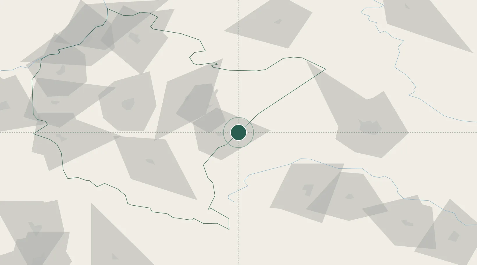
Location
Nearby Logistics Neighbours
Ports
- 1Kaliningrad570 km
- 2Baltiysk576 km
- 3Gdansk584 km
- 4Nowy Port590 km
- 5Gdynia605 km
Airports
- 1Lviv International Airport73 km
- 2Rzeszów-Jasionka Airport74 km
- 3Uzhhorod International Airport139 km
- 4Lublin Airport161 km
- 5Ivano-Frankivsk International Airport163 km
DatabookThe Record of Consolidated Knowledge
Poland beyond logistics?