Transport Functions
Rail
Road
Hub Profile
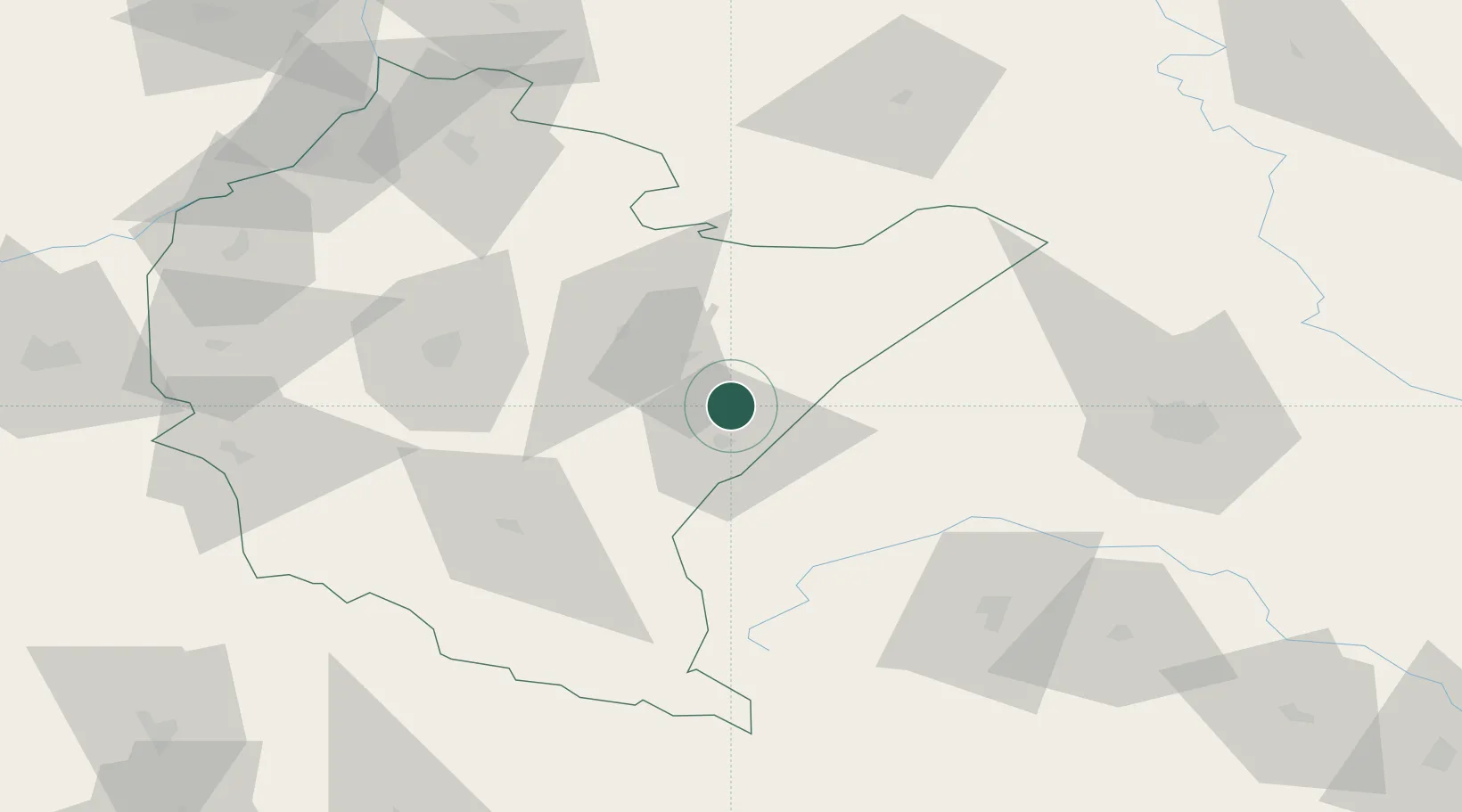
Place type
District seat
Region
Subcarpathia
Population
1,000
Time zone
Europe/Warsaw
Elevation
220 m
Location
Nearby Logistics Neighbours
Ports
- 1Kaliningrad558 km
- 2Baltiysk564 km
- 3Gdansk571 km
- 4Nowy Port577 km
- 5Gdynia592 km
Airports
- 1Rzeszów-Jasionka Airport61 km
- 2Lviv International Airport83 km
- 3Uzhhorod International Airport144 km
- 4Lublin Airport151 km
- 5Ivano-Frankivsk International Airport176 km
DatabookThe Record of Consolidated Knowledge
Poland beyond logistics?