UN/LOCODE hub · Greece
GRMXK

Mastichari Kos

36.8500°, 27.0667°
1
Transport functions

Transport Functions

Port
UN/LOCODE

Hub Profile

Region
81
GeoNames

Location

Location of GRMXK
Natural Earth 10m (public domain) · 81 · GRMXK · 36.85, 27.07GoogleOSMYandex

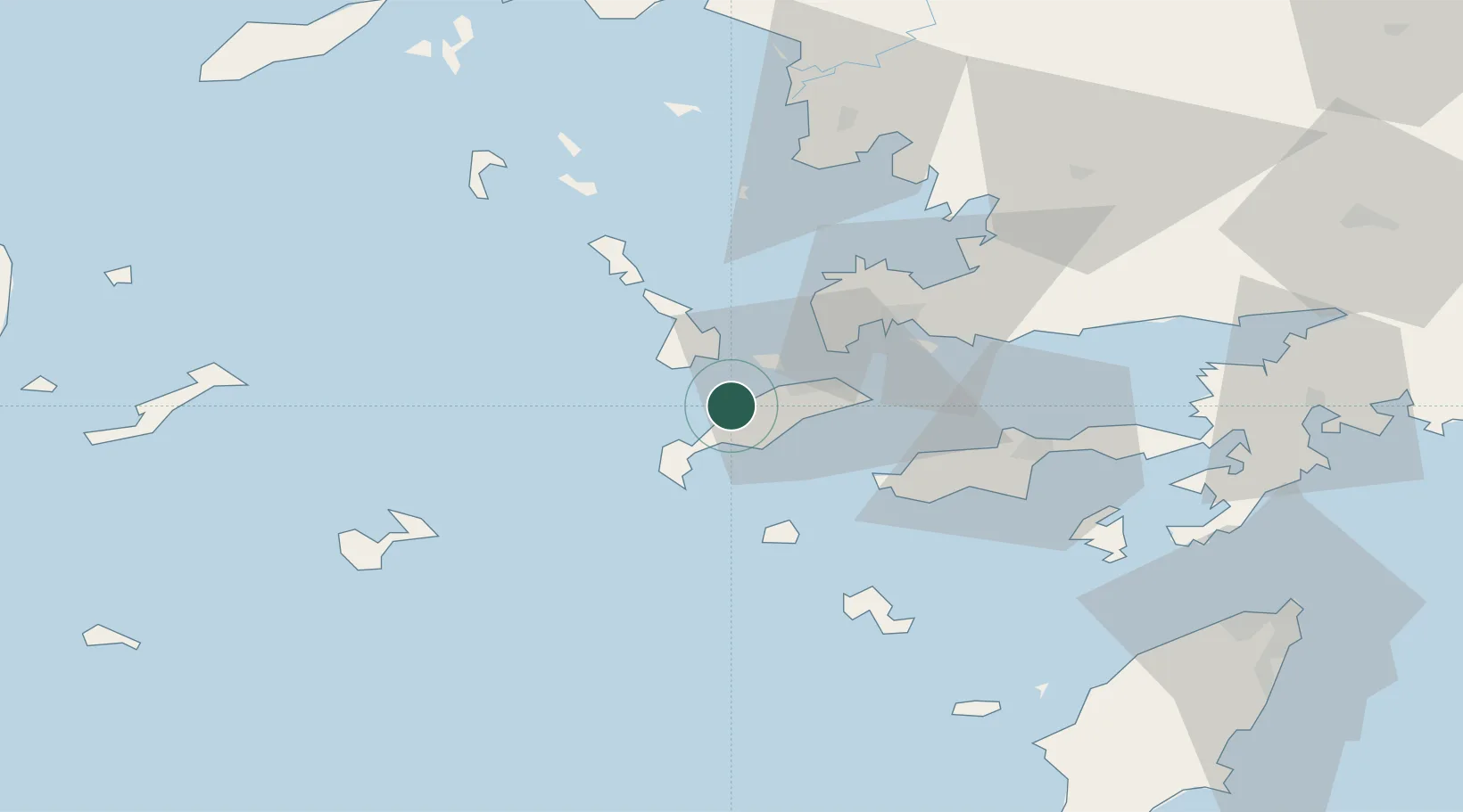
Nearby Logistics Neighbours

Cities
  1. 1Kardamaina Kos11 km
  2. 2Phserimos Dodekanisou11 km
  3. 3Kálymnos13 km
  4. 4Kefalos Ko16 km
  5. 5Kos16 km
Nearest neighbours — logibook spatial index (haversine) over the source coordinates
Ports
  1. 1Kalimnos13 km
  2. 2Limin Kos20 km
  3. 3Lakki37 km
  4. 4Bodrum38 km
  5. 5Gulluk66 km
Nearest neighbours — logibook spatial index (haversine) over the source coordinates
Airports
  1. 1Kos International Airport "Ippokratis"7 km
  2. 2Kalymnos Airport17 km
  3. 3Leros Airport44 km
  4. 4Astypalaia Airport69 km
  5. 5Milas Bodrum International Airport69 km
Nearest neighbours — logibook spatial index (haversine) over the source coordinates
Trade Zones
  1. 1Tire Organized Industrial Zone152 km
  2. 2Aegean Free Zone166 km
  3. 3Izmir Ataturk Organized Industrial Zone183 km
  4. 4Izmir Free Zone197 km
  5. 5Manisa Organized Industrial Zone198 km
Nearest neighbours — logibook spatial index (haversine) over the source coordinates
DatabookThe Record of Consolidated Knowledge
Greece beyond logistics?
Browse databook

All Sources

LocationsUN/LOCODE
UN/LOCODE — free
Portsthe NGA World Port Index
Public domain (US gov)
AirportsOurAirports
Public domain
Trade Zonesthe World Bank SEZ database
CC BY 4.0
Trade ZonesOpen Zone Map
CC BY
← Greece locations