UN/LOCODE hub · Slovakia
SKSZQ
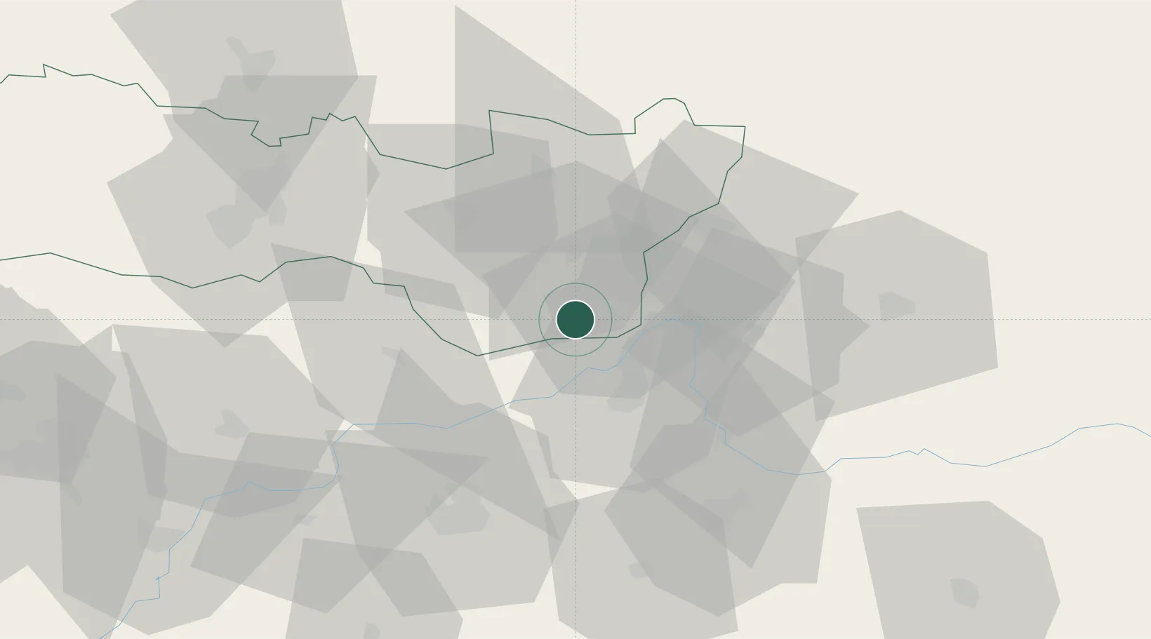
Kralovsky Chlmec
48.4167°, 21.9833°
7,391
Population
1
Transport functions
Transport Functions
Multimodal
Hub Profile
Place type
Populated place
Region
Košice Region
Population
7,391
Time zone
Europe/Bratislava
Elevation
108 m
Location
Nearby Logistics Neighbours
Cities
- 1Dobrá3 km
- 2Pribenik4 km
- 3Tiszabezded14 km
- 4Záhony15 km
- 5Velké Kapusany17 km
Ports
- 1Braila576 km
- 2Senj661 km
- 3Bakar664 km
- 4Omisalj668 km
- 5Rijeka Luka668 km
Airports
Trade Zones
DatabookThe Record of Consolidated Knowledge
Slovakia beyond logistics?