Transport Functions
Multimodal
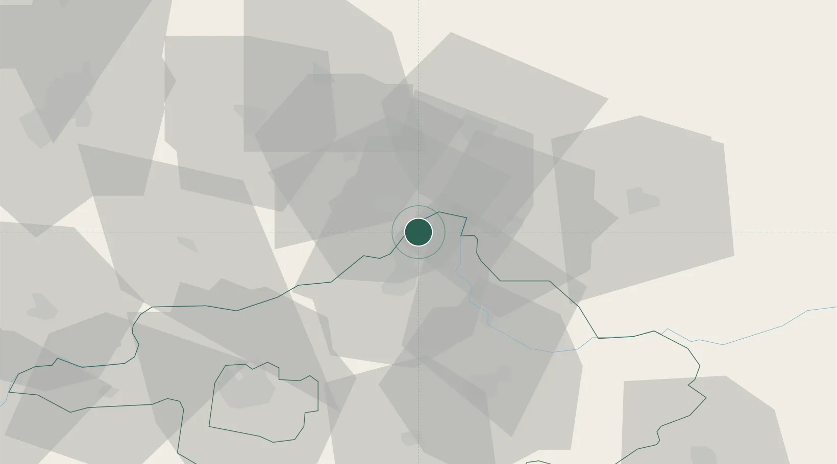
Hub Profile
Place type
Populated place
Region
Szabolcs-Szatmár-Bereg
Population
2,054
Time zone
Europe/Budapest
Elevation
102 m
Location
Nearby Logistics Neighbours
Airports
Trade Zones
DatabookThe Record of Consolidated Knowledge
Hungary beyond logistics?