About
Methodology
Sources
Licensing
English
EN
English
TR
Türkçe
DE
Deutsch
FR
Français
ES
Español
IT
Italiano
PT
Português
NL
Nederlands
PL
Polski
RU
Русский
UK
Українська
CS
Čeština
RO
Română
EL
Ελληνικά
BG
Български
AR
العربية
FA
فارسی
UR
اردو
HI
हिन्दी
BN
বাংলা
ID
Bahasa Indonesia
VI
Tiếng Việt
ZH
中文
JA
日本語
KO
한국어
logibook
/
Countries
/
Slovakia
/
Locations
/
Pribenik
UN/LOCODE hub ·
Slovakia
SK
SYA
Pribenik
48.3833°, 22.0000°
1
Transport functions
Transport Functions
Multimodal
UN/LOCODE
Hub Profile
Place type
Populated place
GeoNames
Region
Košice Region
GeoNames
Time zone
Europe/Bratislava
GeoNames
Elevation
97 m
GeoNames
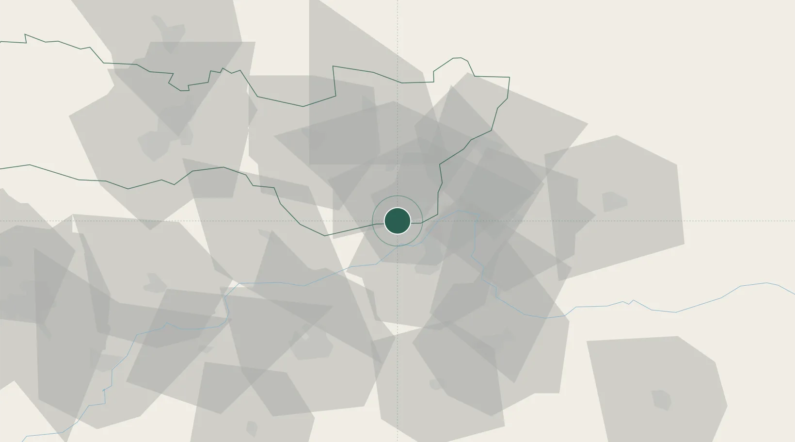
Location
Natural Earth 10m (public domain) · Košice Region · SKSYA · 48.38, 22.00
Google ↗
OSM ↗
Yandex ↗
Nearby Logistics Neighbours
Cities
1
Dobrá
4 km
2
Kralovsky Chlmec
4 km
3
Tiszabezded
11 km
4
Záhony
14 km
5
Mandok
17 km
Nearest neighbours — logibook spatial index (haversine) over the source coordinates
Ports
1
Galati
568 km
2
Braila
573 km
3
Reni
580 km
4
Izmayil
621 km
5
Tulcea
630 km
Nearest neighbours — logibook spatial index (haversine) over the source coordinates
Airports
1
Uzhhorod International Airport
34 km
2
Košice International Airport
64 km
3
Satu Mare International Airport
100 km
4
Debrecen International Airport
103 km
5
Maramureș International Airport
136 km
Nearest neighbours — logibook spatial index (haversine) over the source coordinates
Trade Zones
1
Customs Free Zone Zahony
12 km
2
Transcarpathian Special Economic Zone (Zakarpattia)
34 km
3
Special Economic Zone Kurortopolis Truskavets
149 km
4
Special Economic Zone Yavoriv
201 km
5
Euro-Park Mielec
218 km
Nearest neighbours — logibook spatial index (haversine) over the source coordinates
Data
book
The Record of Consolidated Knowledge
Slovakia beyond logistics?
Browse databook
→
All Sources
Locations
UN/LOCODE
UN/LOCODE — free
↗
Ports
the NGA World Port Index
Public domain (US gov)
↗
Airports
OurAirports
Public domain
↗
Trade Zones
the World Bank SEZ database
CC BY 4.0
↗
Trade Zones
Open Zone Map
CC BY
↗
← Slovakia locations