UN/LOCODE hub · Slovakia
SKVKP
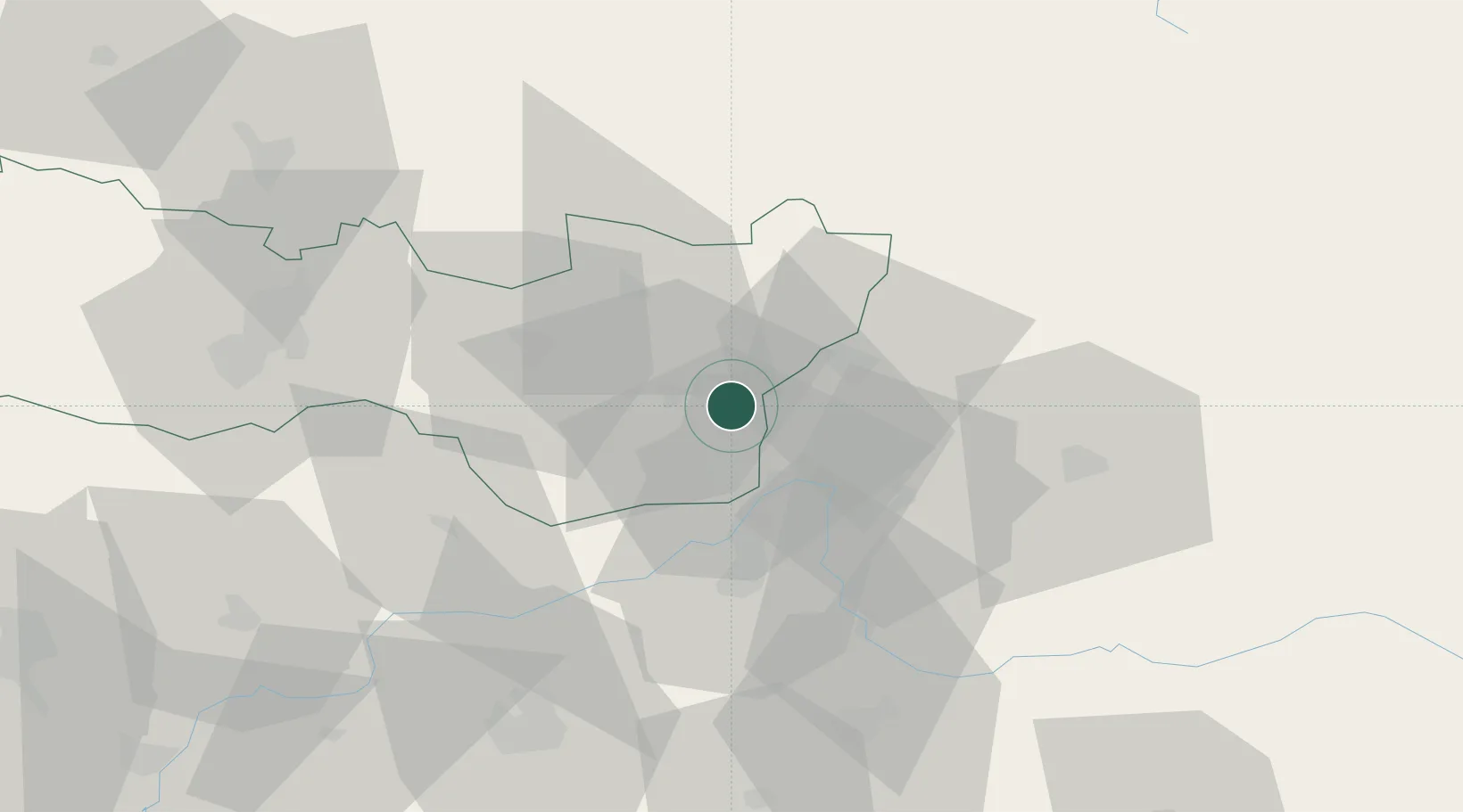
Velké Kapusany
48.5500°, 22.0833°
8,527
Population
2
Transport functions
Transport Functions
Rail
Road
Hub Profile
Place type
Populated place
Region
Košice Region
Population
8,527
Time zone
Europe/Bratislava
Elevation
109 m
Location
Nearby Logistics Neighbours
DatabookThe Record of Consolidated Knowledge
Slovakia beyond logistics?