Transport Functions
Rail
Road
Hub Profile
Place type
Populated place
Region
Košice Region
Time zone
Europe/Bratislava
Elevation
99 m
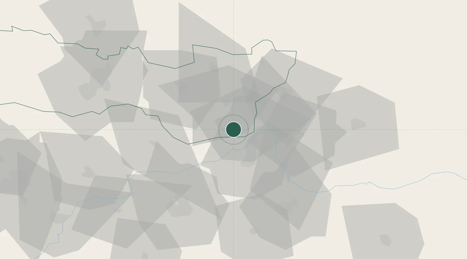
Location
Nearby Logistics Neighbours
Cities
- 1Kralovsky Chlmec3 km
- 2Pribenik4 km
- 3Tiszabezded11 km
- 4Záhony12 km
- 5Chop15 km
Airports
Trade Zones
DatabookThe Record of Consolidated Knowledge
Slovakia beyond logistics?