Transport Functions
Multimodal
Hub Profile
Place type
Populated place
Region
Banská Bystrica Region
Population
6,616
Time zone
Europe/Bratislava
Elevation
301 m
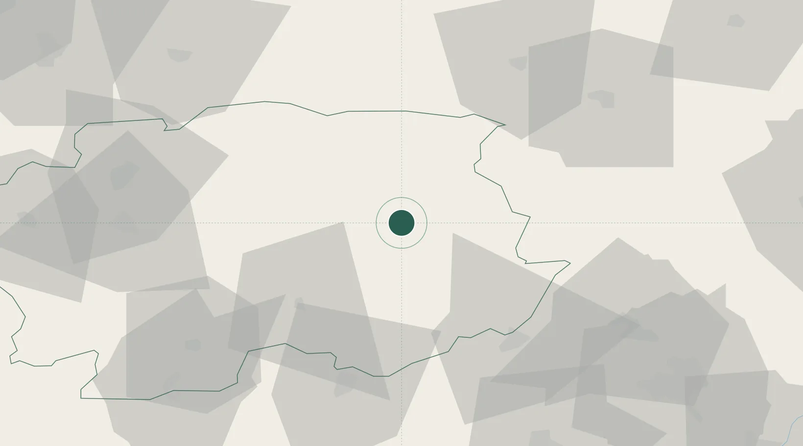
Location
Nearby Logistics Neighbours
Cities
- 1Rimavske Zaluzany10 km
- 2Lubeník20 km
- 3Jelsava20 km
- 4Poltár21 km
- 5Polomka31 km
Ports
- 1Bakar551 km
- 2Rijeka Luka554 km
- 3Senj556 km
- 4Omisalj556 km
- 5Trieste572 km
Airports
Trade Zones
- 1Göd Special Economic Zone117 km
- 2Kraków Technology Park160 km
- 3Karvinská Specialized Economic Zone178 km
- 4Mošnov Development Area183 km
- 5Veselí nad Moravou Industrial Zone194 km
DatabookThe Record of Consolidated Knowledge
Slovakia beyond logistics?