Transport Functions
Multimodal
Hub Profile
Place type
Populated place
Region
Banská Bystrica Region
Population
2,959
Time zone
Europe/Bratislava
Elevation
621 m
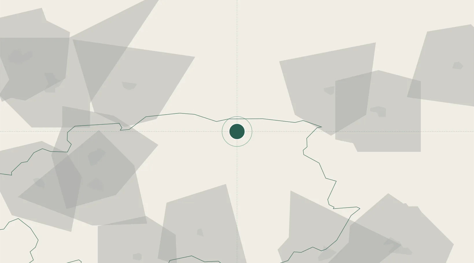
Location
Nearby Logistics Neighbours
Cities
- 1Brezno15 km
- 2Valaska20 km
- 3Liptovsky Hradok22 km
- 4Podbrezová24 km
- 5Zavazna Poruba28 km
Ports
- 1Bakar564 km
- 2Rijeka Luka566 km
- 3Omisalj569 km
- 4Senj571 km
- 5Trieste582 km
Airports
- 1Poprad-Tatry Airport38 km
- 2Sliač Airport58 km
- 3Žilina-Dolný Hričov Airport100 km
- 4Košice International Airport104 km
- 5Kraków John Paul II International Airport137 km
Trade Zones
- 1Kraków Technology Park130 km
- 2Göd Special Economic Zone140 km
- 3Karvinská Specialized Economic Zone149 km
- 4Mošnov Development Area157 km
- 5Katowice SEZ (Katowicka SSE)167 km
DatabookThe Record of Consolidated Knowledge
Slovakia beyond logistics?