Transport Functions
Rail
Road
Hub Profile
Place type
Populated place
Region
Banská Bystrica Region
Population
3,168
Time zone
Europe/Bratislava
Elevation
266 m
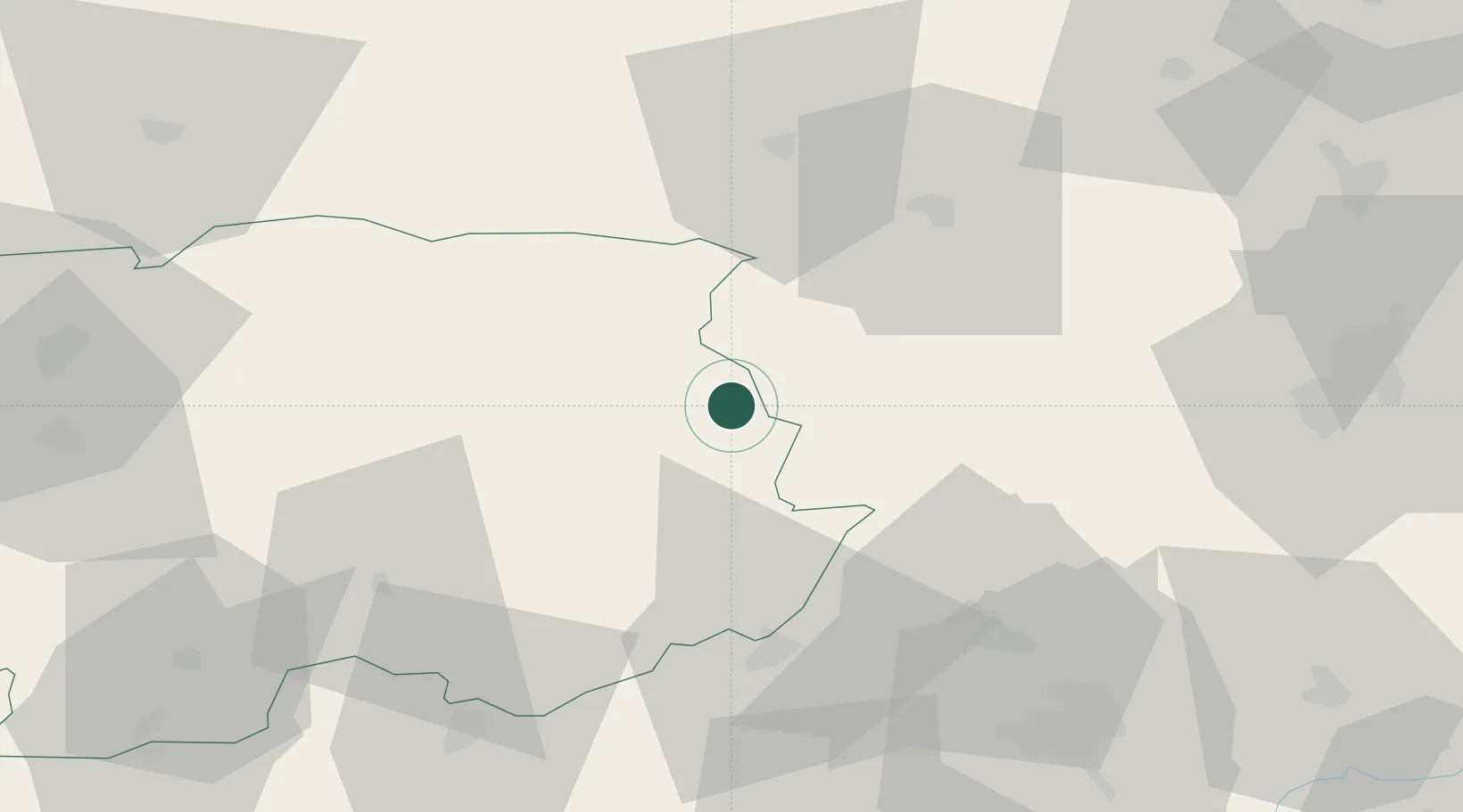
Location
Nearby Logistics Neighbours
Cities
- 1Lubeník4 km
- 2Plesivec15 km
- 3Gemerská Horka16 km
- 4Hnústa20 km
- 5Rimavske Zaluzany27 km
Ports
- 1Bakar569 km
- 2Rijeka Luka573 km
- 3Senj574 km
- 4Omisalj575 km
- 5Zaliv Rasa615 km
Airports
- 1Poprad-Tatry Airport49 km
- 2Košice International Airport74 km
- 3Sliač Airport81 km
- 4Žilina-Dolný Hričov Airport136 km
- 5Uzhhorod International Airport149 km
Trade Zones
DatabookThe Record of Consolidated Knowledge
Slovakia beyond logistics?