Transport Functions
Rail
Road
Hub Profile
Place type
Populated place
Region
Prešov Region
Population
3,600
Time zone
Europe/Bratislava
Elevation
866 m
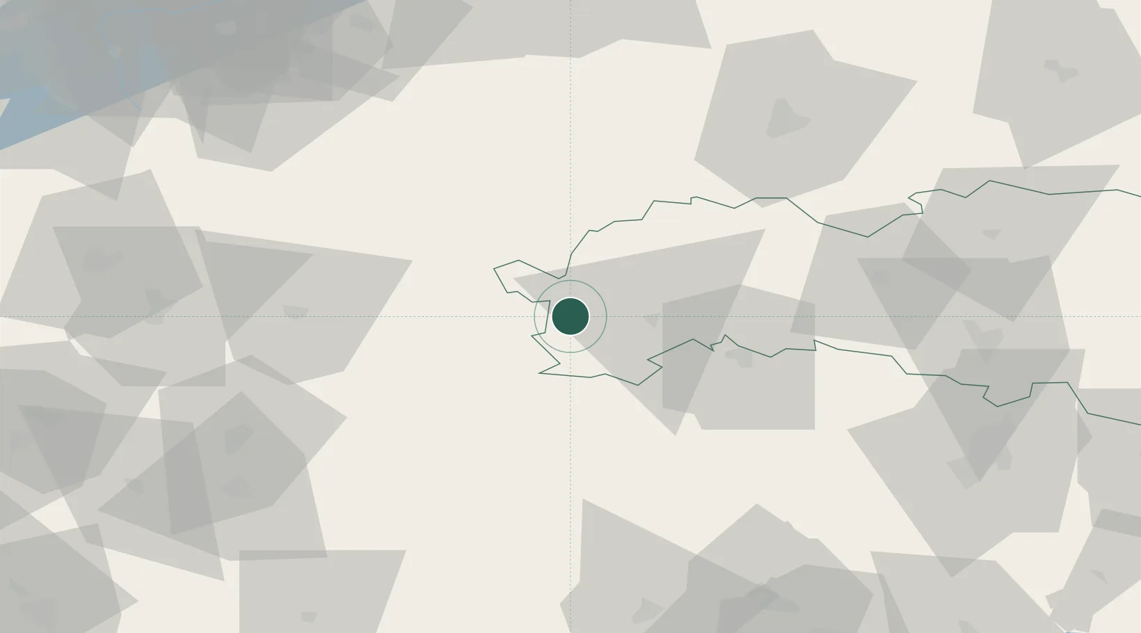
Location
Nearby Logistics Neighbours
Cities
- 1Strbské Pleso6 km
- 2Poprad16 km
- 3Velká Lomnica21 km
- 4Spisský Stiavnik22 km
- 5Liptovsky Hradok26 km
Ports
- 1Bakar592 km
- 2Rijeka Luka595 km
- 3Gdansk596 km
- 4Omisalj598 km
- 5Senj600 km
Airports
Trade Zones
- 1Kraków Technology Park107 km
- 2Karvinská Specialized Economic Zone144 km
- 3Katowice SEZ (Katowicka SSE)155 km
- 4Mošnov Development Area159 km
- 5Göd Special Economic Zone168 km
DatabookThe Record of Consolidated Knowledge
Slovakia beyond logistics?