Transport Functions
Port
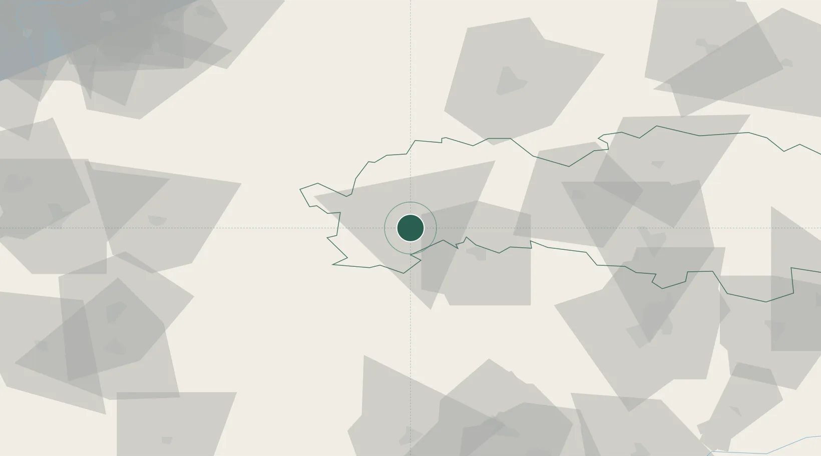
Hub Profile
Place type
Provincial seat
Region
Prešov Region
Population
49,091
Time zone
Europe/Bratislava
Elevation
668 m
Location
Nearby Logistics Neighbours
Cities
- 1Spisský Stiavnik7 km
- 2Velká Lomnica9 km
- 3Strba16 km
- 4Strbské Pleso20 km
- 5Levoca22 km
Ports
- 1Gdansk600 km
- 2Bakar603 km
- 3Rijeka Luka606 km
- 4Nowy Port607 km
- 5Omisalj609 km
Airports
Trade Zones
DatabookThe Record of Consolidated Knowledge
Slovakia beyond logistics?