Transport Functions
Multimodal
Hub Profile
Place type
Populated place
Region
Prešov Region
Time zone
Europe/Bratislava
Elevation
649 m
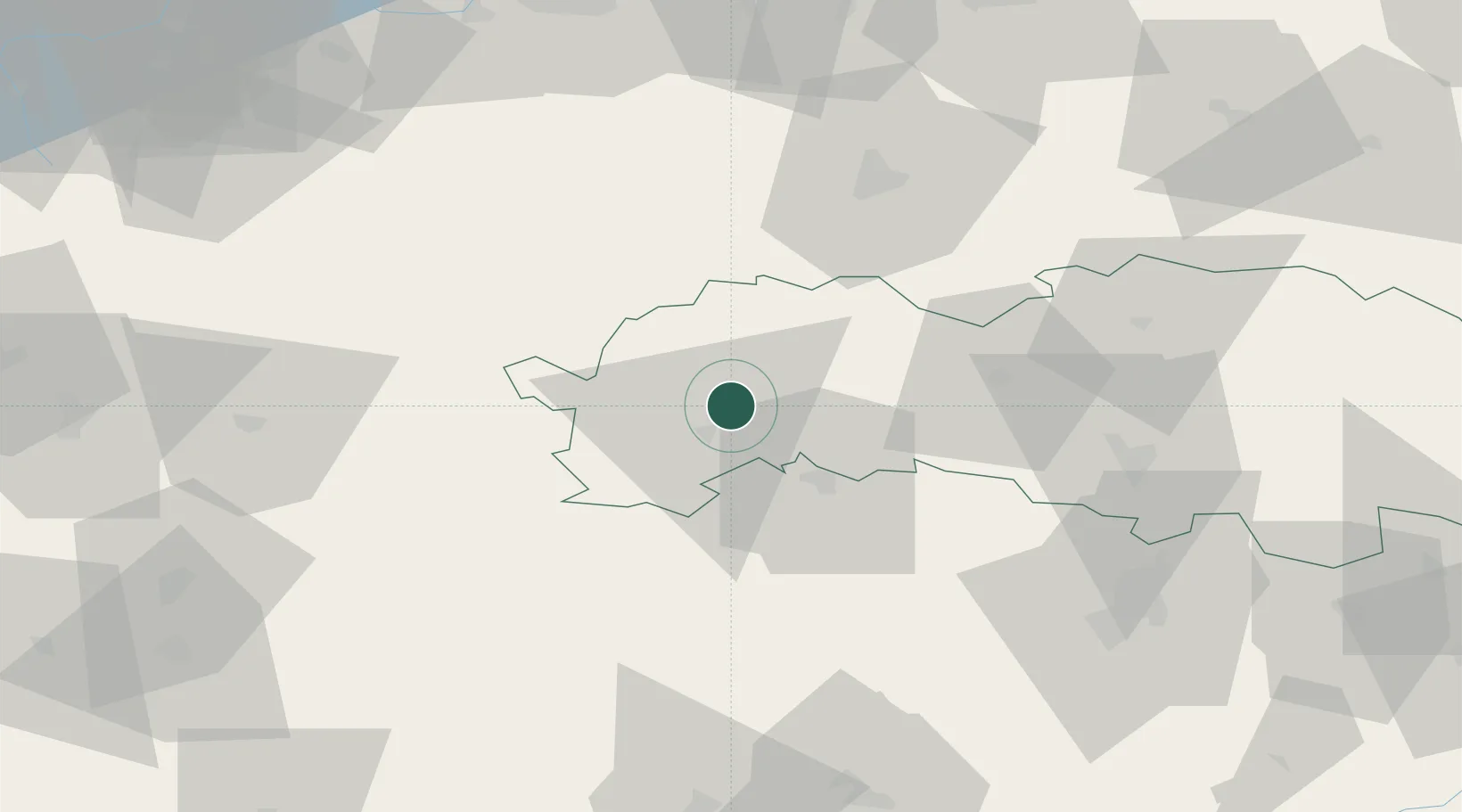
Location
Nearby Logistics Neighbours
Cities
- 1Poprad9 km
- 2Spisský Stiavnik13 km
- 3Podolinec19 km
- 4Levoca19 km
- 5Strba21 km
Ports
- 1Gdansk594 km
- 2Nowy Port601 km
- 3Bakar611 km
- 4Rijeka Luka614 km
- 5Baltiysk614 km
Airports
- 1Poprad-Tatry Airport10 km
- 2Košice International Airport81 km
- 3Sliač Airport105 km
- 4Kraków John Paul II International Airport115 km
- 5Žilina-Dolný Hričov Airport128 km
Trade Zones
DatabookThe Record of Consolidated Knowledge
Slovakia beyond logistics?