UN/LOCODE hub · Slovakia
SKDF4
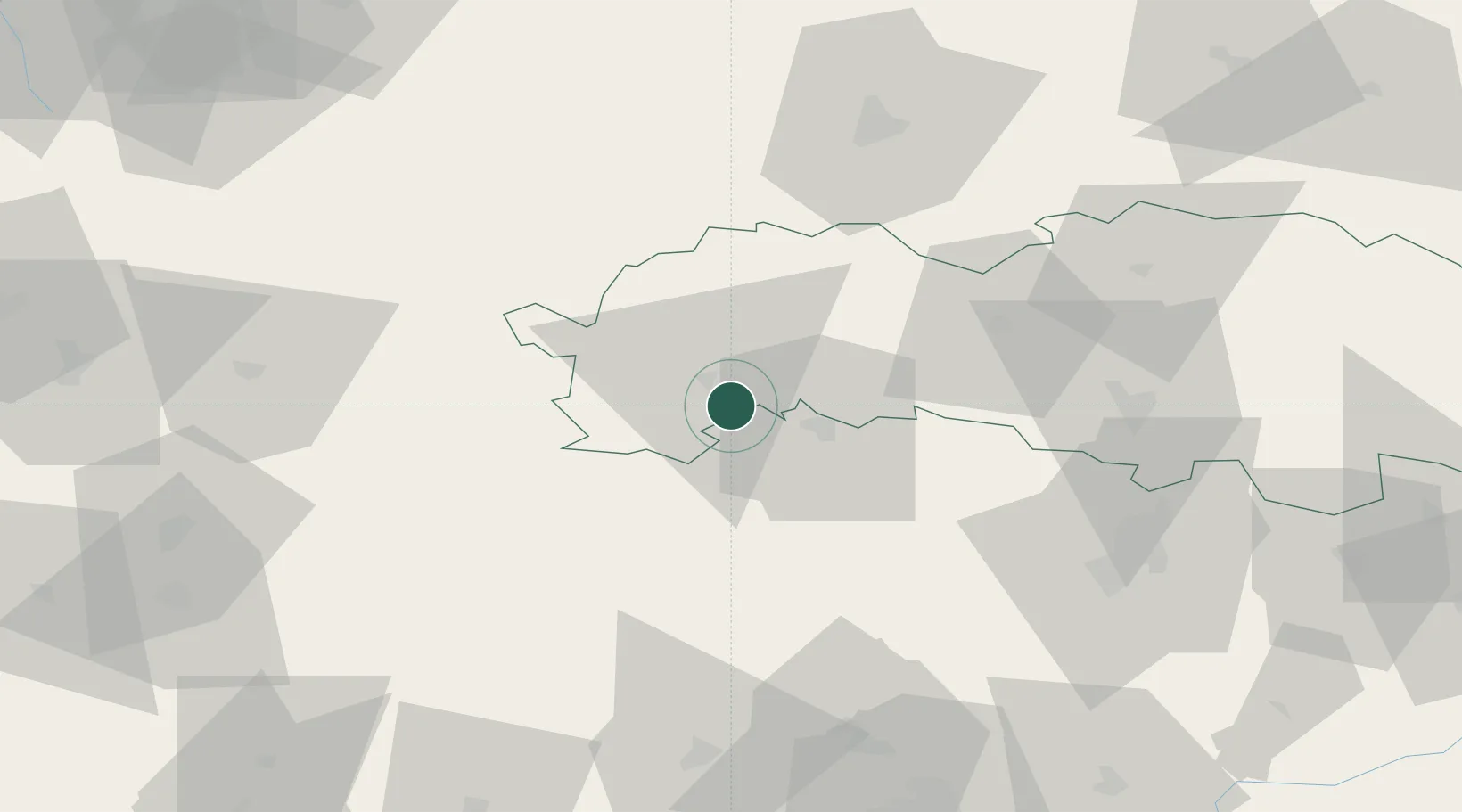
Spisský Stiavnik
49.0000°, 20.3667°
2,949
Population
2
Transport functions
Transport Functions
Port
Road
Hub Profile
Place type
Populated place
Region
Prešov Region
Population
2,949
Time zone
Europe/Bratislava
Elevation
569 m
Location
Nearby Logistics Neighbours
Cities
- 1Poprad7 km
- 2Velká Lomnica13 km
- 3Levoca17 km
- 4Strba22 km
- 5Strbské Pleso27 km
Ports
- 1Bakar603 km
- 2Rijeka Luka606 km
- 3Gdansk606 km
- 4Omisalj609 km
- 5Senj609 km
Airports
Trade Zones
DatabookThe Record of Consolidated Knowledge
Slovakia beyond logistics?