Transport Functions
Road
Multimodal
Hub Profile
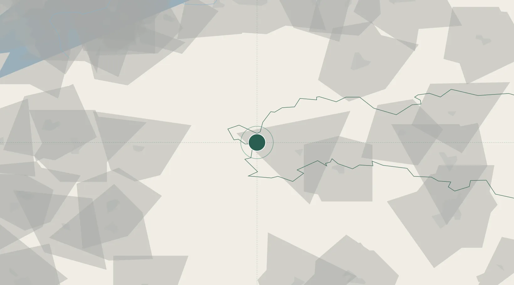
Place type
Populated place
Region
Prešov Region
Population
85
Time zone
Europe/Bratislava
Elevation
1,350 m
Location
Nearby Logistics Neighbours
Cities
- 1Strba6 km
- 2Poprad20 km
- 3Velká Lomnica23 km
- 4Poronin24 km
- 5Liptovsky Hradok25 km
Ports
- 1Gdansk590 km
- 2Bakar595 km
- 3Nowy Port597 km
- 4Rijeka Luka597 km
- 5Omisalj601 km
Airports
- 1Poprad-Tatry Airport15 km
- 2Sliač Airport86 km
- 3Košice International Airport101 km
- 4Žilina-Dolný Hričov Airport105 km
- 5Kraków John Paul II International Airport109 km
Trade Zones
- 1Kraków Technology Park101 km
- 2Karvinská Specialized Economic Zone139 km
- 3Katowice SEZ (Katowicka SSE)149 km
- 4Mošnov Development Area154 km
- 5Euro-Park Mielec168 km
DatabookThe Record of Consolidated Knowledge
Slovakia beyond logistics?