UN/LOCODE hub · Slovakia
SKSZS
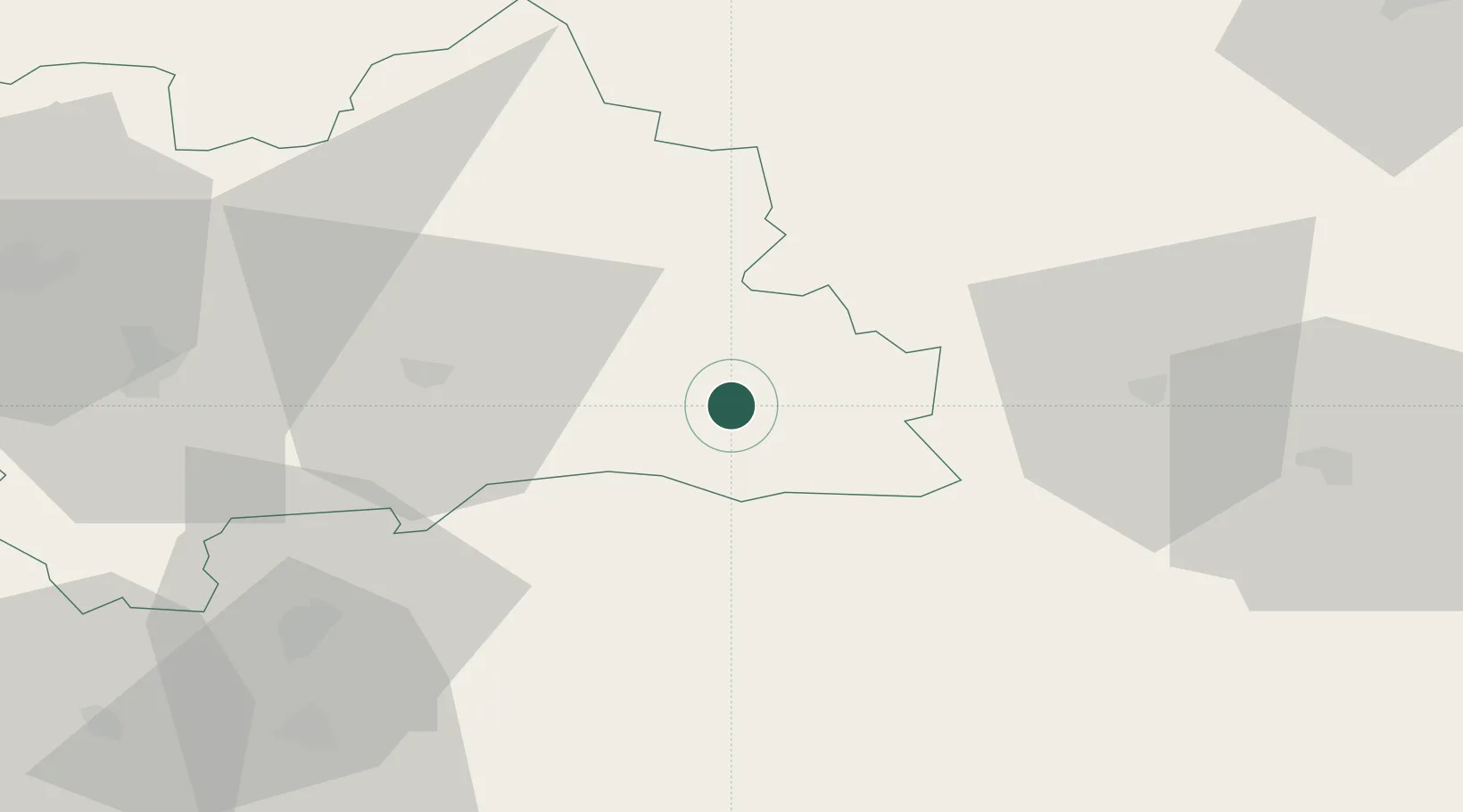
Liptovsky Hradok
49.0333°, 19.7333°
7,038
Population
1
Transport functions
Transport Functions
Multimodal
Hub Profile
Place type
Populated place
Region
Žilina Region
Population
7,038
Time zone
Europe/Bratislava
Elevation
640 m
Location
Nearby Logistics Neighbours
Cities
- 1Zavazna Poruba7 km
- 2Polomka22 km
- 3Brezno25 km
- 4Strbské Pleso25 km
- 5Strba26 km
Ports
- 1Bakar572 km
- 2Rijeka Luka574 km
- 3Omisalj578 km
- 4Senj580 km
- 5Trieste587 km
Airports
Trade Zones
- 1Kraków Technology Park110 km
- 2Karvinská Specialized Economic Zone128 km
- 3Mošnov Development Area138 km
- 4Katowice SEZ (Katowicka SSE)145 km
- 5Göd Special Economic Zone156 km
DatabookThe Record of Consolidated Knowledge
Slovakia beyond logistics?