Transport Functions
Rail
Road
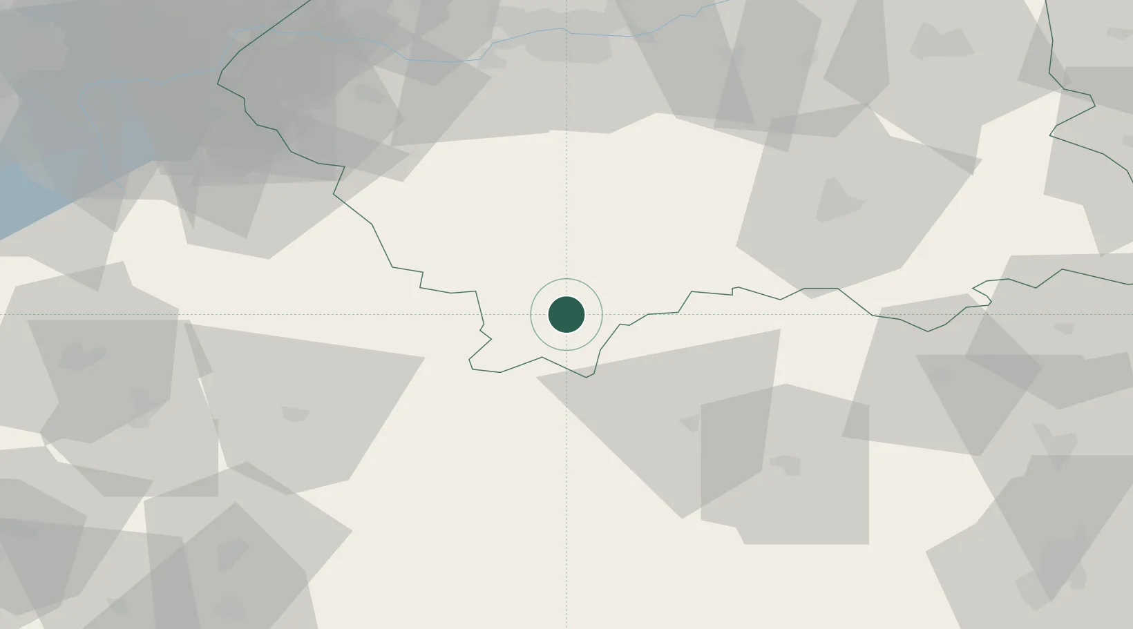
Hub Profile
Place type
District seat
Region
Lesser Poland
Population
3,507
Time zone
Europe/Warsaw
Elevation
732 m
Location
Nearby Logistics Neighbours
Cities
- 1Nowy Targ17 km
- 2Strbské Pleso24 km
- 3Spisská Stará Ves26 km
- 4Strba30 km
- 5Tvrdosin31 km
Airports
- 1Poprad-Tatry Airport34 km
- 2Kraków John Paul II International Airport84 km
- 3Sliač Airport100 km
- 4Žilina-Dolný Hričov Airport101 km
- 5Košice International Airport117 km
Trade Zones
DatabookThe Record of Consolidated Knowledge
Poland beyond logistics?