Transport Functions
Multimodal
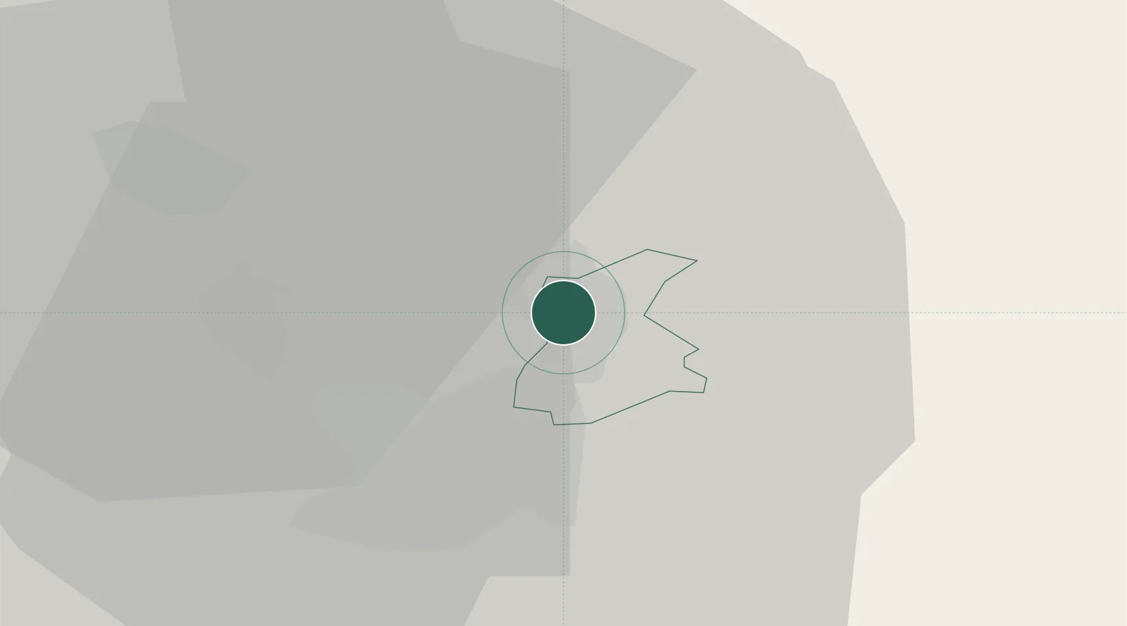
Hub Profile
Place type
Populated place
Region
Domžale
Population
1,674
Time zone
Europe/Ljubljana
Elevation
328 m
Location
Nearby Logistics Neighbours
Cities
- 1Suhadole4 km
- 2Trojane21 km
- 3Litija21 km
- 4Zabnica22 km
- 5Skofja Loka23 km
Ports
- 1Trieste88 km
- 2Muggia90 km
- 3Monfalcone92 km
- 4Rijeka Luka94 km
- 5Koper96 km
Airports
- 1Ljubljana Jože Pučnik Airport13 km
- 2Klagenfurt Airport57 km
- 3Cerklje ob Krki Air Base78 km
- 4Maribor Edvard Rusjan Airport90 km
- 5Trieste Airport95 km
Trade Zones
- 1Free Port of Trieste87 km
- 2Free Zone Kukuljanovo93 km
- 3Krapina-Zagorje Free Zone98 km
- 4PJ Free Zone Zagreb107 km
- 5Port of Rijeka Free Zone111 km
DatabookThe Record of Consolidated Knowledge
Slovenia beyond logistics?