Transport Functions
Port
Hub Profile
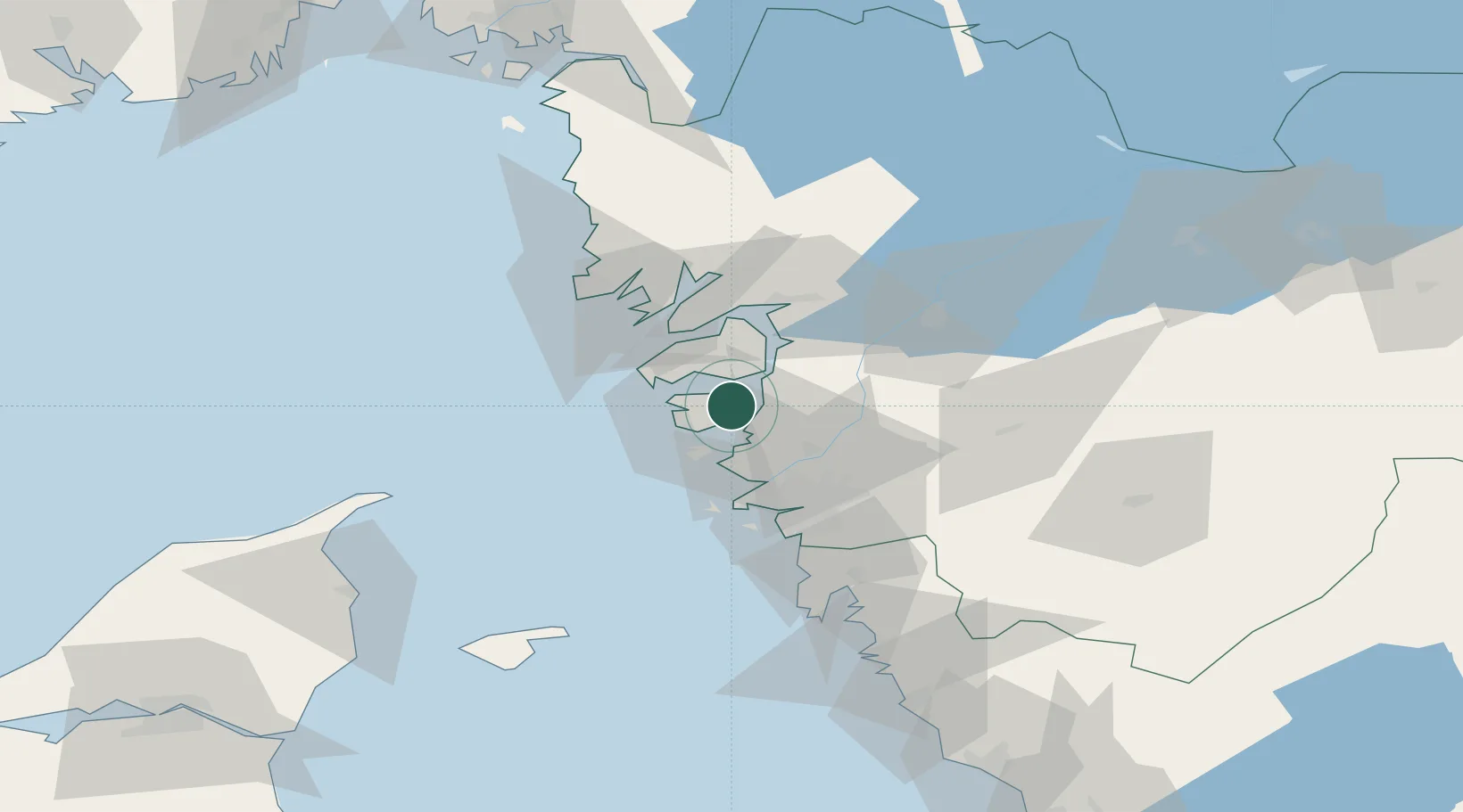
Place type
Populated place
Region
Västra Götaland
Time zone
Europe/Stockholm
Elevation
5 m
Location
Nearby Logistics Neighbours
Cities
- 1Jörlanda8 km
- 2Skärhamn10 km
- 3Kyrkesund11 km
- 4Rönnäng12 km
- 5Klädesholmen12 km
Ports
- 1Stenungsund9 km
- 2Marstrand16 km
- 3Lysekil32 km
- 4Uddevalla37 km
- 5Goteborg37 km
Airports
- 1Säve Airport29 km
- 2Trollhättan-Vänersborg Airport51 km
- 3Göteborg Landvetter Airport52 km
- 4Såtenäs Air Base75 km
- 5Læsø Airport92 km
Trade Zones
DatabookThe Record of Consolidated Knowledge
Sweden beyond logistics?