Transport Functions
Port
Road
Hub Profile
Region
O
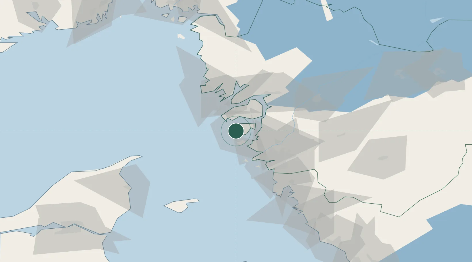
Location
Nearby Logistics Neighbours
Cities
- 1Klädesholmen4 km
- 2Kyrkesund4 km
- 3Rönnäng6 km
- 4Wallhamn10 km
- 5Jörlanda16 km
Ports
- 1Marstrand11 km
- 2Stenungsund18 km
- 3Lysekil33 km
- 4Goteborg39 km
- 5Brofjorden43 km
Airports
- 1Säve Airport30 km
- 2Göteborg Landvetter Airport56 km
- 3Trollhättan-Vänersborg Airport60 km
- 4Såtenäs Air Base84 km
- 5Læsø Airport85 km
Trade Zones
DatabookThe Record of Consolidated Knowledge
Sweden beyond logistics?