Transport Functions
Port
Road
Hub Profile
Place type
Populated place
Region
Västra Götaland
Population
547
Time zone
Europe/Stockholm
Elevation
20 m
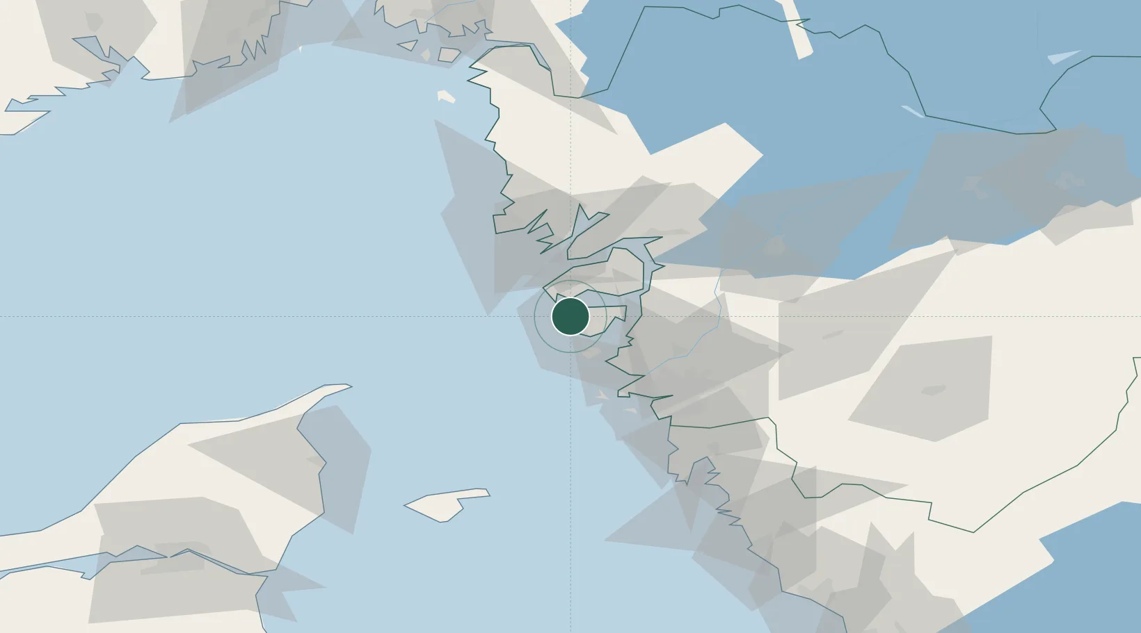
Location
Nearby Logistics Neighbours
Cities
- 1Skärhamn4 km
- 2Klädesholmen8 km
- 3Rönnäng10 km
- 4Wallhamn11 km
- 5Jörlanda18 km
Ports
- 1Marstrand15 km
- 2Stenungsund18 km
- 3Lysekil29 km
- 4Brofjorden39 km
- 5Uddevalla41 km
Airports
- 1Säve Airport34 km
- 2Trollhättan-Vänersborg Airport59 km
- 3Göteborg Landvetter Airport60 km
- 4Såtenäs Air Base84 km
- 5Læsø Airport88 km
Trade Zones
DatabookThe Record of Consolidated Knowledge
Sweden beyond logistics?