UN/LOCODE hub · Sweden
SEJNA

Jörlanda

57.9833°, 11.8167°
4
Transport functions

Transport Functions

Port
Rail
Road
Multimodal
UN/LOCODE

Hub Profile

Region
O
GeoNames

Location

Location of SEJNA
Natural Earth 10m (public domain) · O · SEJNA · 57.98, 11.82GoogleOSMYandex

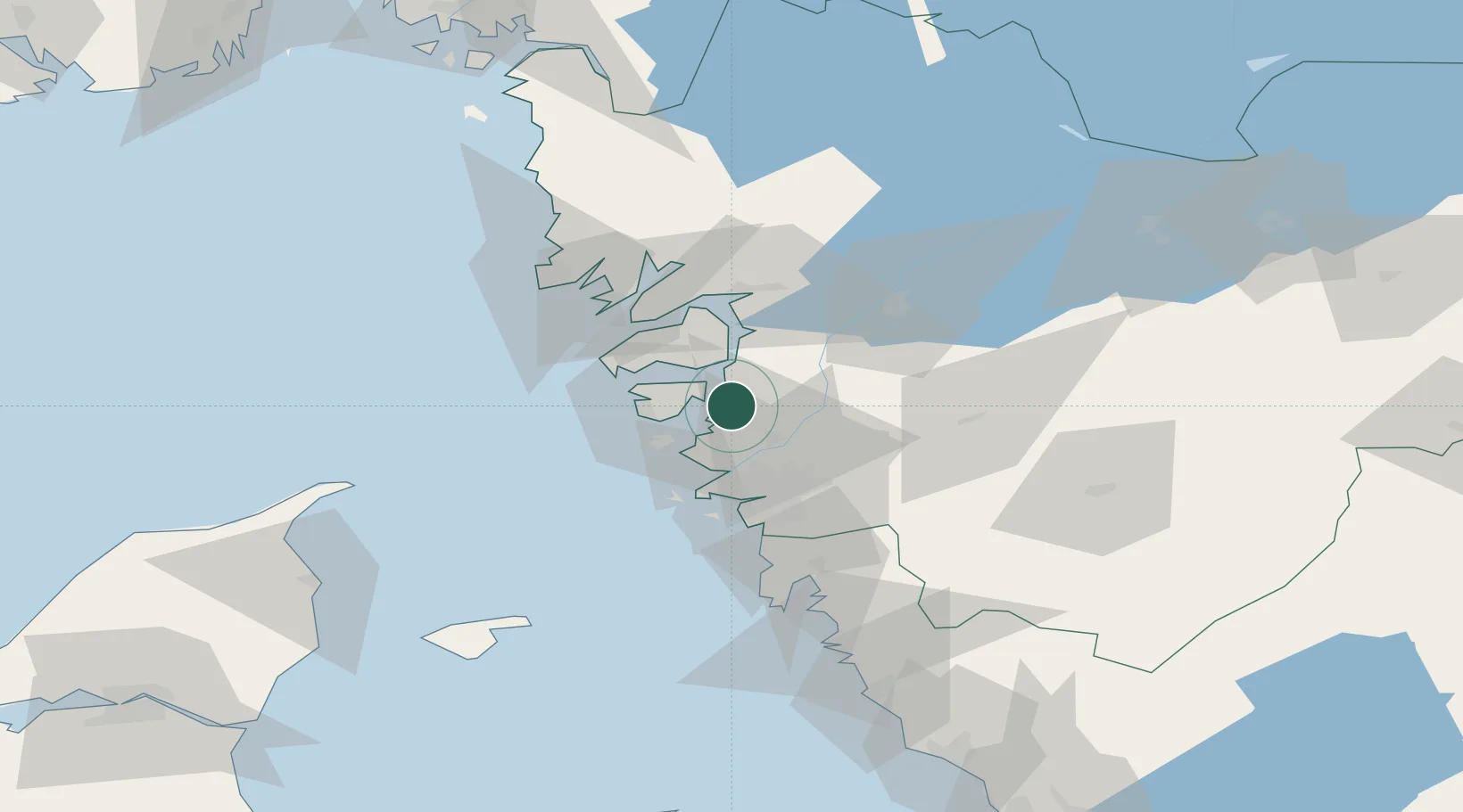
Nearby Logistics Neighbours

Cities
  1. 1Wallhamn8 km
  2. 2Rönnäng15 km
  3. 3Skärhamn16 km
  4. 4Nol (ports)17 km
  5. 5Svanesund17 km
Nearest neighbours — logibook spatial index (haversine) over the source coordinates
Ports
  1. 1Stenungsund11 km
  2. 2Marstrand17 km
  3. 3Goteborg32 km
  4. 4Lysekil39 km
  5. 5Uddevalla39 km
Nearest neighbours — logibook spatial index (haversine) over the source coordinates
Airports
  1. 1Säve Airport23 km
  2. 2Göteborg Landvetter Airport45 km
  3. 3Trollhättan-Vänersborg Airport48 km
  4. 4Såtenäs Air Base72 km
  5. 5Råda Air Base92 km
Nearest neighbours — logibook spatial index (haversine) over the source coordinates
Trade Zones
  1. 1Gothenburg Boundless Customs Warehouse31 km
  2. 2Jönköping Free Zone137 km
  3. 3Freeport of Copenhagen- Nordhavn257 km
  4. 4MTS Malmö Transport and Spedition276 km
  5. 5Freeport of Kiel418 km
Nearest neighbours — logibook spatial index (haversine) over the source coordinates
DatabookThe Record of Consolidated Knowledge
Sweden beyond logistics?
Browse databook

All Sources

LocationsUN/LOCODE
UN/LOCODE — free
Portsthe NGA World Port Index
Public domain (US gov)
AirportsOurAirports
Public domain
Trade Zonesthe World Bank SEZ database
CC BY 4.0
Trade ZonesOpen Zone Map
CC BY
← Sweden locations