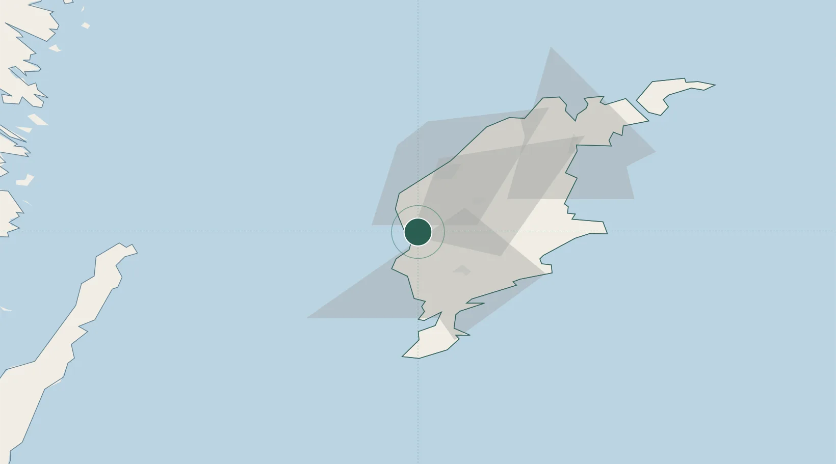
UN/LOCODE hub · Sweden
SEKLI

Klintehamn

57.4000°, 18.2000°
1,490
Population
1
Transport functions

Transport Functions

Port
Klintehamn is also a profiled seaport →
UN/LOCODE

Hub Profile

Place type
Populated place
GeoNames
Region
Gotland
GeoNames
Population
1,490
GeoNames
Time zone
Europe/Stockholm
GeoNames
Elevation
6 m
GeoNames

Location

Location of SEKLI
Natural Earth 10m (public domain) · Gotland · SEKLI · 57.40, 18.20GoogleOSMYandex

Nearby Logistics Neighbours

Cities
  1. 1Tofta13 km
  2. 2Visby27 km
  3. 3Ronehamn31 km
  4. 4Tomtbod31 km
  5. 5Slite50 km
Nearest neighbours — logibook spatial index (haversine) over the source coordinates
Ports
  1. 1Visby26 km
  2. 2Ronehamn36 km
  3. 3Slite50 km
  4. 4Storugns60 km
  5. 5Farosund77 km
Nearest neighbours — logibook spatial index (haversine) over the source coordinates
Airports
  1. 1Visby Airport31 km
  2. 2Kalmar Airport140 km
  3. 3Stockholm Skavsta Airport172 km
  4. 4Norrköping Airport175 km
  5. 5Liepāja International Airport201 km
Nearest neighbours — logibook spatial index (haversine) over the source coordinates
Trade Zones
  1. 1Free port of Ventspils199 km
  2. 2Liepāja SEZ210 km
  3. 3Stockholm Free Zone217 km
  4. 4Jönköping Free Zone248 km
  5. 5Klaipėda Free Economic Zone284 km
Nearest neighbours — logibook spatial index (haversine) over the source coordinates
DatabookThe Record of Consolidated Knowledge
Sweden beyond logistics?
Browse databook

All Sources

LocationsUN/LOCODE
UN/LOCODE — free
LocationsGeoNames
CC BY 4.0
Portsthe NGA World Port Index
Public domain (US gov)
AirportsOurAirports
Public domain
Trade Zonesthe World Bank SEZ database
CC BY 4.0
Trade ZonesOpen Zone Map
CC BY
← Sweden locations