Transport Functions
Port
Road
Hub Profile
Place type
Populated place
Region
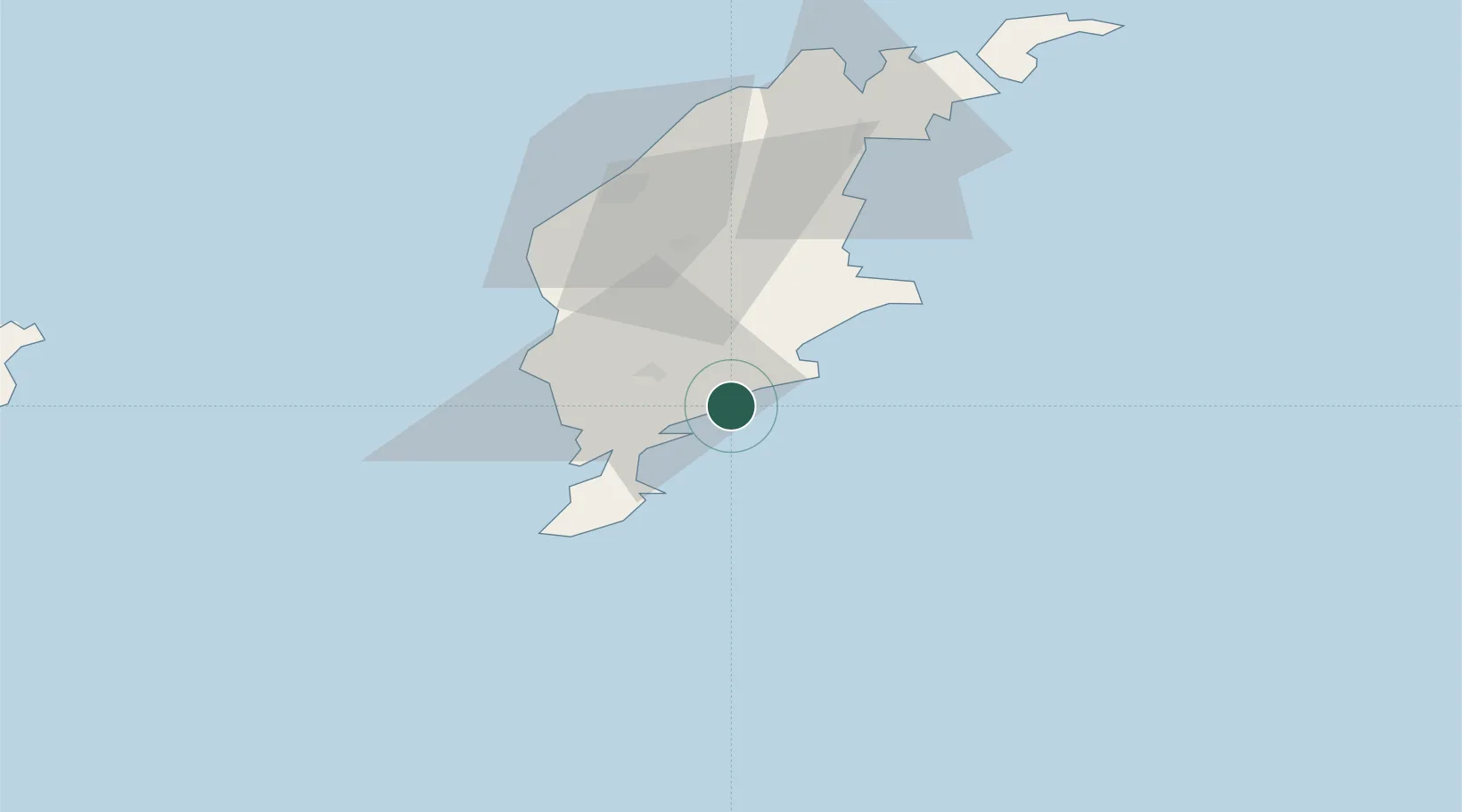
Gotland
Time zone
Europe/Stockholm
Elevation
1 m
Location
Nearby Logistics Neighbours
Cities
- 1Ronehamn4 km
- 2Klintehamn31 km
- 3Tofta44 km
- 4Visby52 km
- 5Slite61 km
Ports
- 1Ronehamn8 km
- 2Klintehamn30 km
- 3Visby52 km
- 4Slite60 km
- 5Storugns74 km
Airports
- 1Visby Airport55 km
- 2Kalmar Airport147 km
- 3Liepāja International Airport173 km
- 4Stockholm Skavsta Airport203 km
- 5Norrköping Airport206 km
Trade Zones
- 1Liepāja SEZ180 km
- 2Free port of Ventspils181 km
- 3Stockholm Free Zone242 km
- 4Klaipėda Free Economic Zone253 km
- 5Jönköping Free Zone273 km
DatabookThe Record of Consolidated Knowledge
Sweden beyond logistics?