Transport Functions
Port
Hub Profile
Place type
Populated place
Region
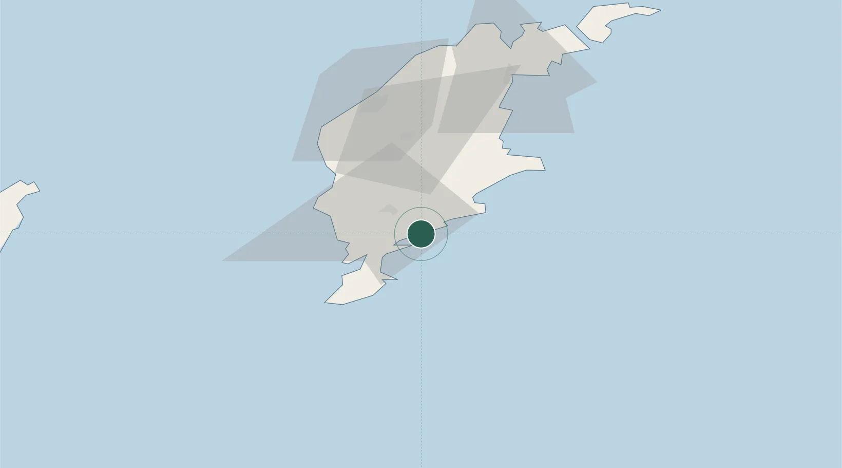
Gotland
Time zone
Europe/Stockholm
Elevation
-1 m
Location
Nearby Logistics Neighbours
Cities
- 1Tomtbod4 km
- 2Klintehamn31 km
- 3Tofta44 km
- 4Visby53 km
- 5Slite64 km
Ports
- 1Klintehamn30 km
- 2Visby53 km
- 3Slite63 km
- 4Storugns77 km
- 5Farosund90 km
Airports
- 1Visby Airport56 km
- 2Kalmar Airport144 km
- 3Liepāja International Airport175 km
- 4Stockholm Skavsta Airport203 km
- 5Norrköping Airport206 km
Trade Zones
- 1Liepāja SEZ182 km
- 2Free port of Ventspils184 km
- 3Stockholm Free Zone244 km
- 4Klaipėda Free Economic Zone254 km
- 5Jönköping Free Zone271 km
DatabookThe Record of Consolidated Knowledge
Sweden beyond logistics?