Transport Functions
Port
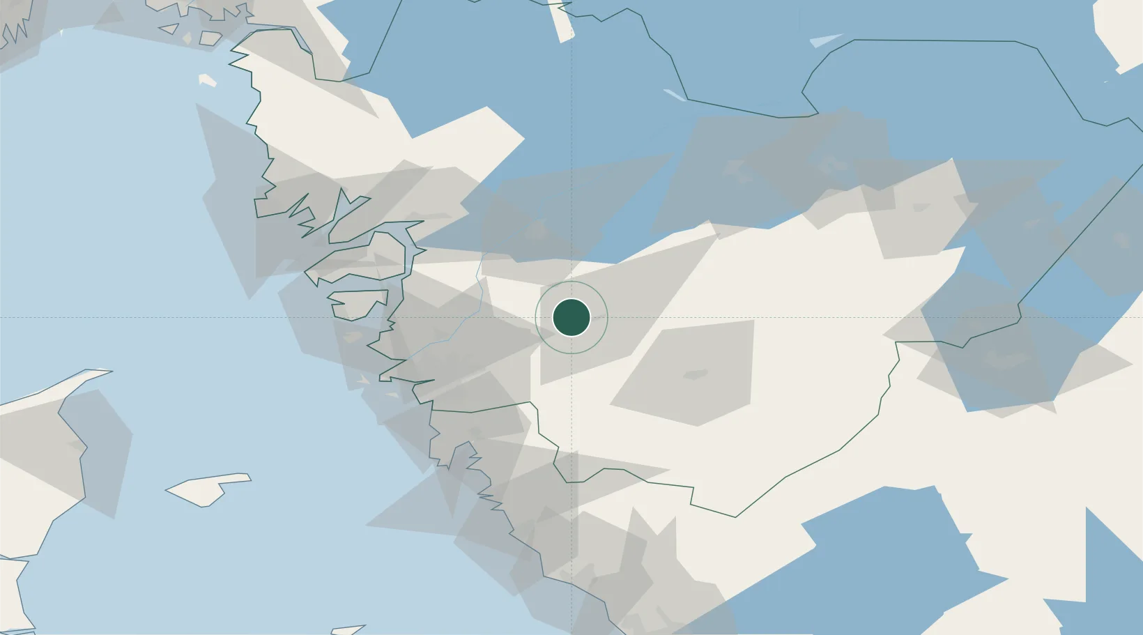
Hub Profile
Place type
Populated place
Region
Zealand
Population
201
Time zone
Europe/Copenhagen
Elevation
0 m
Location
Nearby Logistics Neighbours
Cities
- 1Skepplanda16 km
- 2Floda18 km
- 3Stenkullen21 km
- 4Älvängen21 km
- 5Lödöse22 km
Ports
- 1Goteborg40 km
- 2Stenungsund42 km
- 3Marstrand52 km
- 4Uddevalla55 km
- 5Lysekil70 km
Airports
- 1Göteborg Landvetter Airport34 km
- 2Säve Airport40 km
- 3Trollhättan-Vänersborg Airport42 km
- 4Såtenäs Air Base55 km
- 5Råda Air Base70 km
Trade Zones
DatabookThe Record of Consolidated Knowledge
Denmark beyond logistics?