Transport Functions
Multimodal
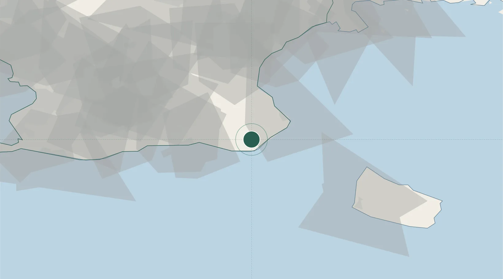
Hub Profile
Place type
Populated place
Region
Skåne
Population
975
Time zone
Europe/Stockholm
Elevation
34 m
Location
Nearby Logistics Neighbours
Cities
- 1Köpingebro15 km
- 2Simrishamn15 km
- 3Ystad22 km
- 4Hammerhavn41 km
- 5Sandvig43 km
Ports
- 1Simrishamn17 km
- 2Ystad22 km
- 3Hasle45 km
- 4Ronne52 km
- 5Ahus54 km
Airports
- 1Malmö Sturup Airport51 km
- 2Kristianstad Airport53 km
- 3Bornholm Airport57 km
- 4Ljungbyhed Airfield92 km
- 5Copenhagen Kastrup Airport97 km
Trade Zones
DatabookThe Record of Consolidated Knowledge
Sweden beyond logistics?