Transport Functions
Rail
Road
Hub Profile
Region
M
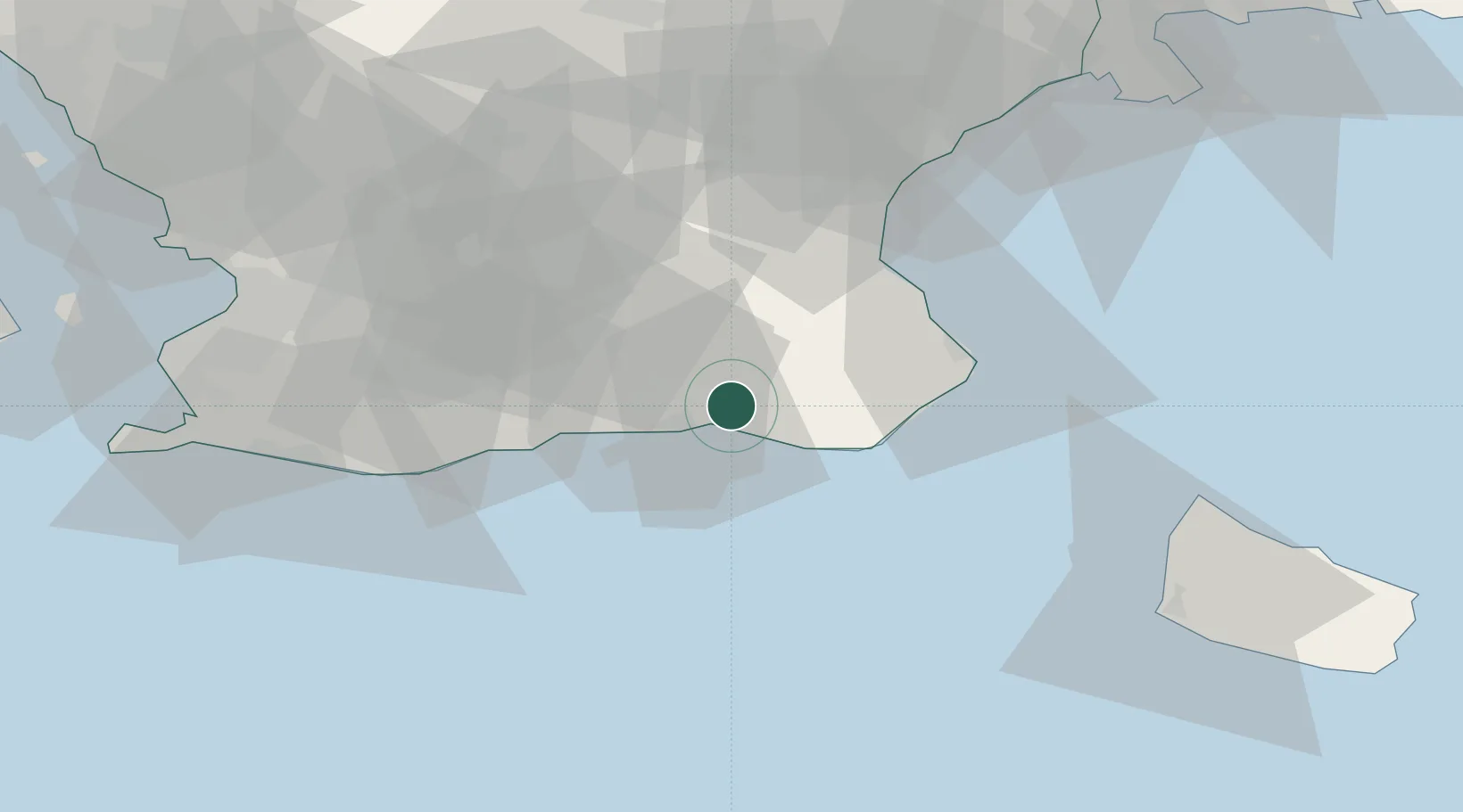
Location
Nearby Logistics Neighbours
Cities
- 1Ystad9 km
- 2Borrby15 km
- 3Simrishamn27 km
- 4Veberöd34 km
- 5Anderslöv38 km
Ports
- 1Ystad9 km
- 2Simrishamn29 km
- 3Trelleborg51 km
- 4Ahus57 km
- 5Hasle58 km
Airports
- 1Malmö Sturup Airport36 km
- 2Kristianstad Airport52 km
- 3Bornholm Airport69 km
- 4Ljungbyhed Airfield82 km
- 5Copenhagen Kastrup Airport82 km
Trade Zones
DatabookThe Record of Consolidated Knowledge
Sweden beyond logistics?