Transport Functions
Port
Rail
Road
Hub Profile
Place type
Provincial seat
Region
Skåne
Population
18,806
Time zone
Europe/Stockholm
Elevation
8 m
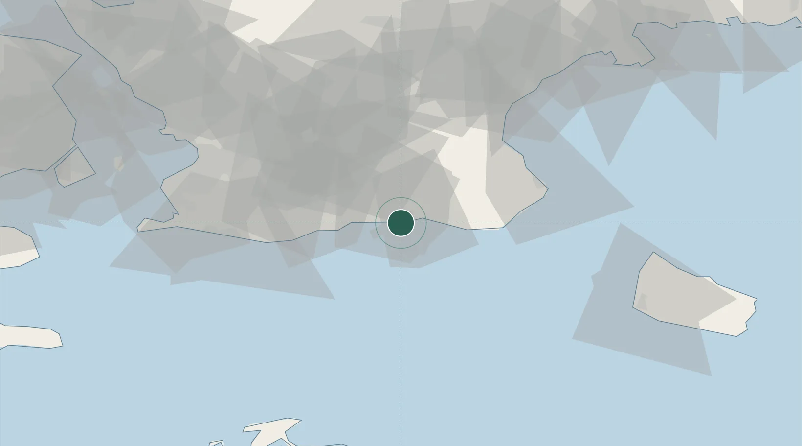
Location
Nearby Logistics Neighbours
Cities
- 1Köpingebro9 km
- 2Borrby22 km
- 3Anderslöv31 km
- 4Veberöd32 km
- 5Simrishamn36 km
Ports
- 1Simrishamn38 km
- 2Trelleborg43 km
- 3Malmo57 km
- 4Limhamn60 km
- 5Hasle62 km
Airports
- 1Malmö Sturup Airport31 km
- 2Kristianstad Airport59 km
- 3Bornholm Airport72 km
- 4Copenhagen Kastrup Airport76 km
- 5København Vandflyveplads82 km
Trade Zones
DatabookThe Record of Consolidated Knowledge
Sweden beyond logistics?